A major undersea earthquake with a magnitude of 7.3 struck southeast of the Philippines on January 10, 2017.
The strong quake struck in the Celebes Sea at a depth of 617 km (380 miles) and comes five days after a smaller, 4.7-magnitude tremor in the same area.
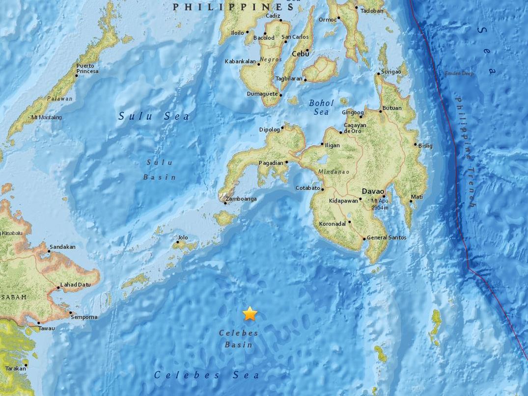
Journalist Barnaby Lo said he felt “no significant tremor” on the island of Jolo, which lies north-east of the epicentre.
The US Tsunami Warning Centre has issued no warning, advisory, watch or threat after the quake.
Philippine seismologists said the earthquake was far too deep to cause any damage and casualties or generate a tsunami.
Renato Solidum of the Philippine Institute of Volcanology and Seismology told AP that the quake, which was set off by movement of oceanic plates 625 kilometers (387 miles) under the seabed, was slightly felt in southern General Santos city.
Solidum said the undersea quake was centered 223 kilometers (138 miles) southeast of Sulu province and aftershocks were possible.
The Philippine archipelago lies in the Pacific “Ring of Fire,” where earthquakes and volcanic activities are common. A magnitude 7.7 quake killed nearly 2,000 people on the northern island of Luzon in 1990.


[…] Powerful M7.3 earthquake hits the Philippines […]