Almost the whole of Europe has seen a brief return to a few days of winter-like weather because an Arctic wind blew south as the month of May came in. Temperatures dropped typically at least 10°C from one day to the next. The driving force, a centre of low pressure over Scandinavia, seems to be reluctant to move.
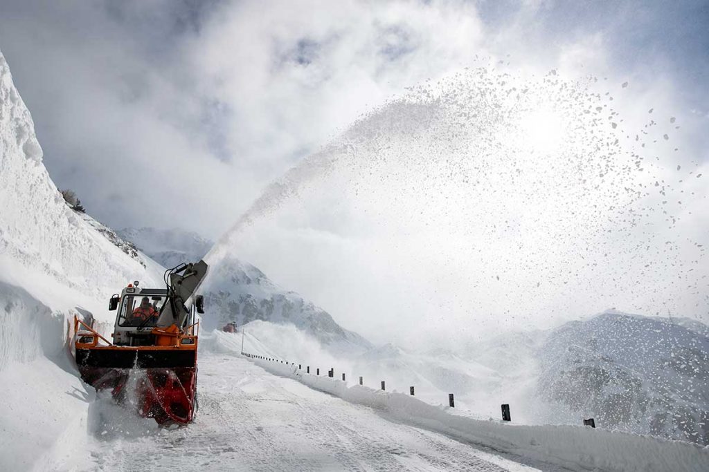
From Spring temperature to winter chaos in less than 12 hours!
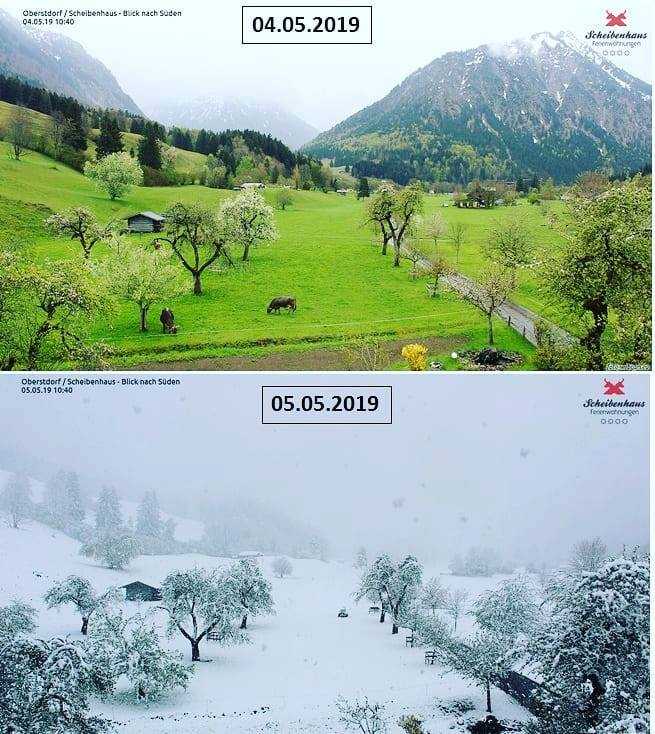
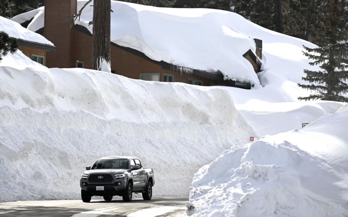
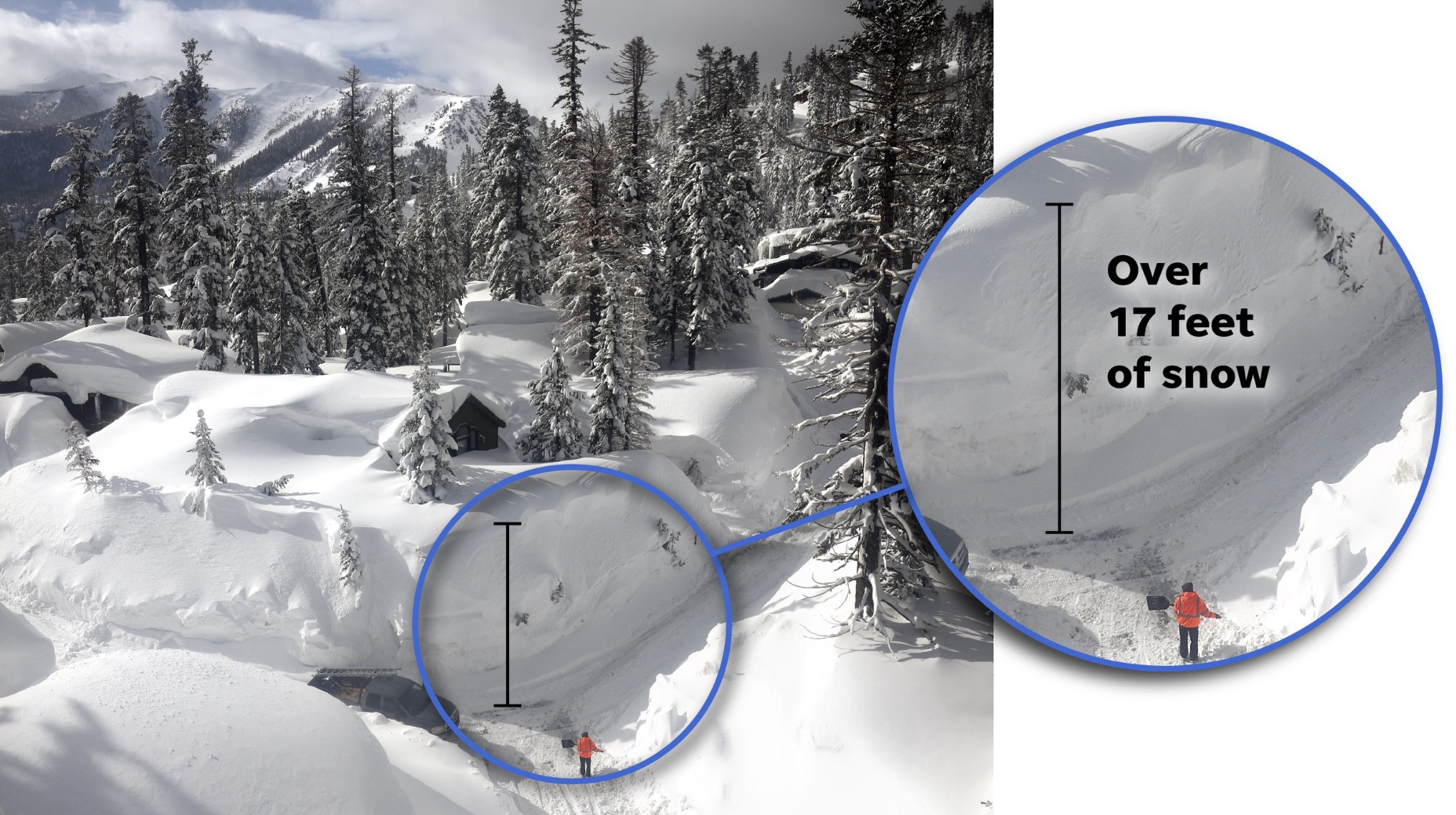
Low-pressure centres often bring storms. Snow has fallen in the Netherlands, France, Germany and Switzerland. In Vijlen, the Netherlands. The last time there was snow in early May here was in 1979!
So much snow! Amazing, no?
A gale blew down the Rhone valley, whipping up the Mediterranean.
Hail fell thickly from thunderstorms in Bulgaria and Romania.
Traditionally, Britons expect it to be cold and wet on a Bank Holiday Monday, so May 6, 2019, lived up to expectations, with temperatures in the UK a full 15 degrees Celsius below last year’s record-high figures.
Temperatures from May 3rd to 7th have been and will be much lower than normal for this time of the year.
There exists a high risk for severe damaging morning frosts across many parts of east, central, western Europe and the Balkan peninsula through Sunday to Wednesday!
Again, they have lit up the wineyards in France:
The extreme weather chaos should take a break after tomorrow! Be ready and get prepared for the next one! The seem to become the new normal!


