Ecuador earthquake causes deadly landslides which cover cities with dust
On Tuesday, August 12, 2014, two earthquakes (4.1 and 5.1 magnitude) rattled Ecuador. The epicenter of the 5.1 mag quake was located about 7.7 kilometers deep in the province of Pichincha, 23 km to the North of Quito, according to the geophysical service of the United States (USGS).
The epicenter of the earthquake is located a little North West of the new Quito Airport. This area is definitely not a volcanic area. There are some volcanoes in the direct vicinity of Quito, but not at this particular location.
Multiple landslides are reported in the Quito area. An impressive picture from the Twitter shows huge clouds of dust in the hills during the shaking.
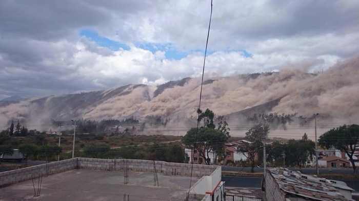
We are especially scared for these landslides as poor people have often build their houses agains steep hills , which in case of a landslide can be extremely dangerous.
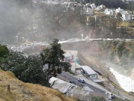
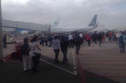
Dust has covered Carapungo and Calderon. The Quito International airport was evacuated after the shaking.
At least 2 people killed by landslides in a quarry in Catequilla close to the Middle of the World or Equator, Mitad del Mundo as many people will know it. Some buildings in Quito show cracked walls.
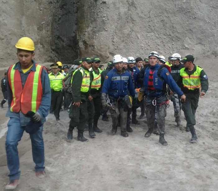
5.1 magnitude earthquake had an epicenter just 23 kilometers northeast of the capital and 7 kilometers deep, according to the geophysical service of United States (USGS). An aftershock (magnitude 4.1) followed at 15:02, according to the Geophysical Institute of Ecuador.


