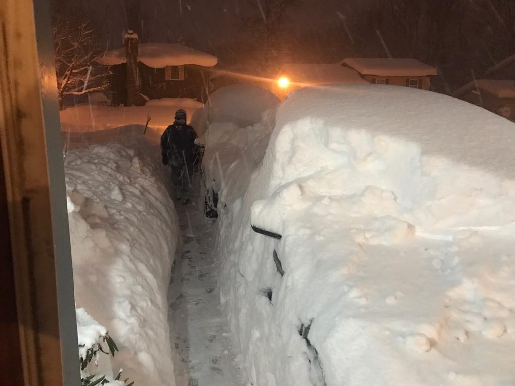
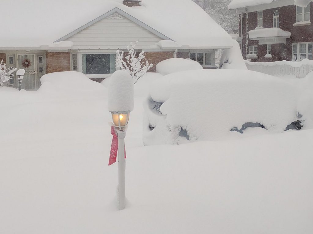
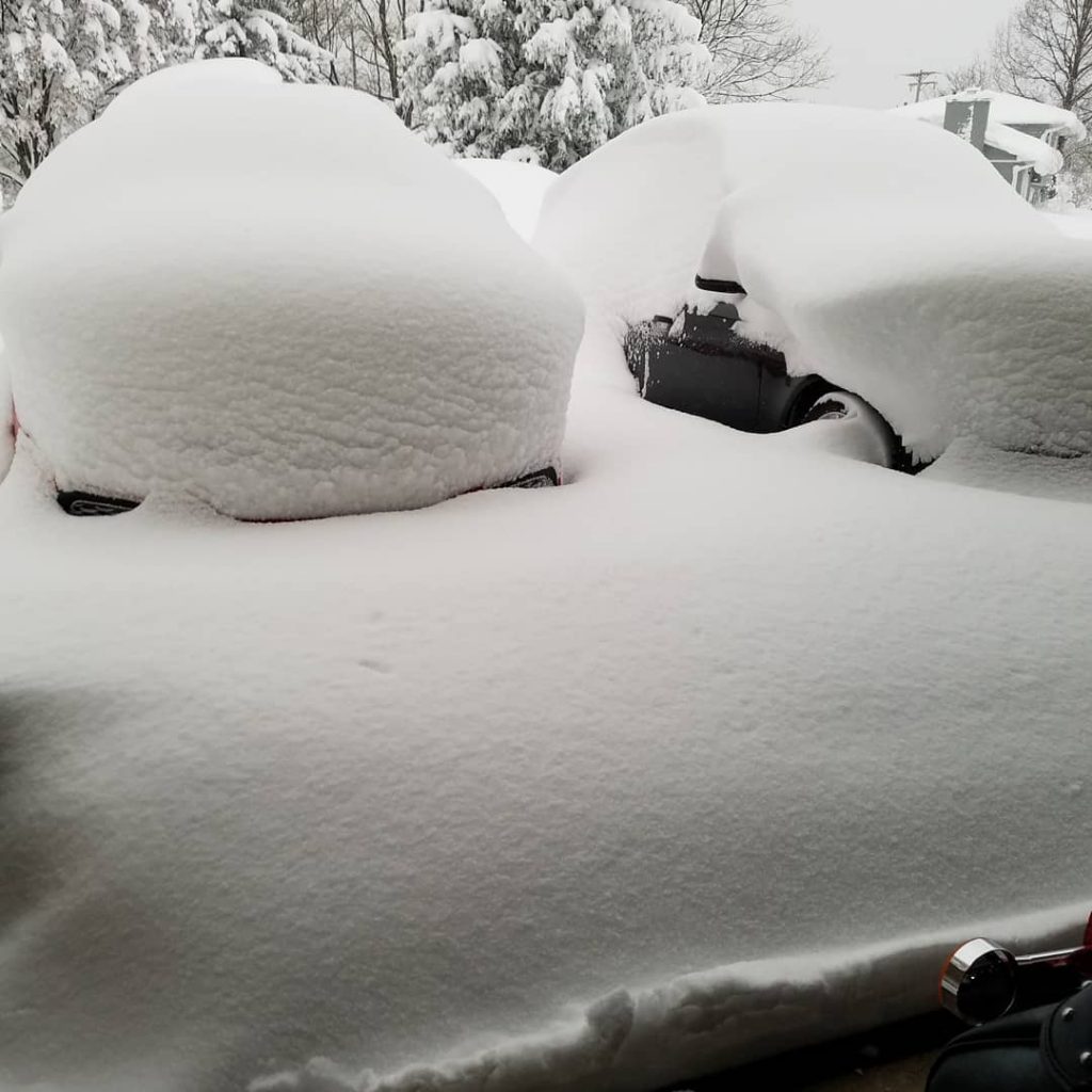
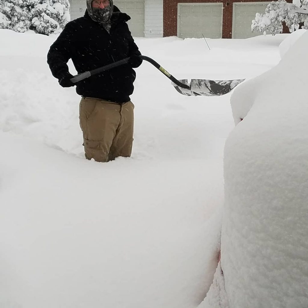
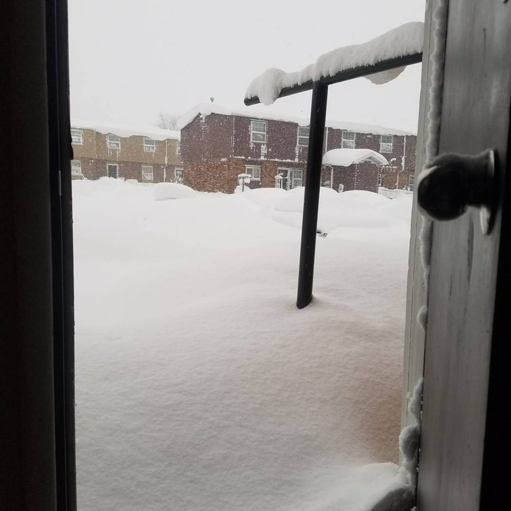
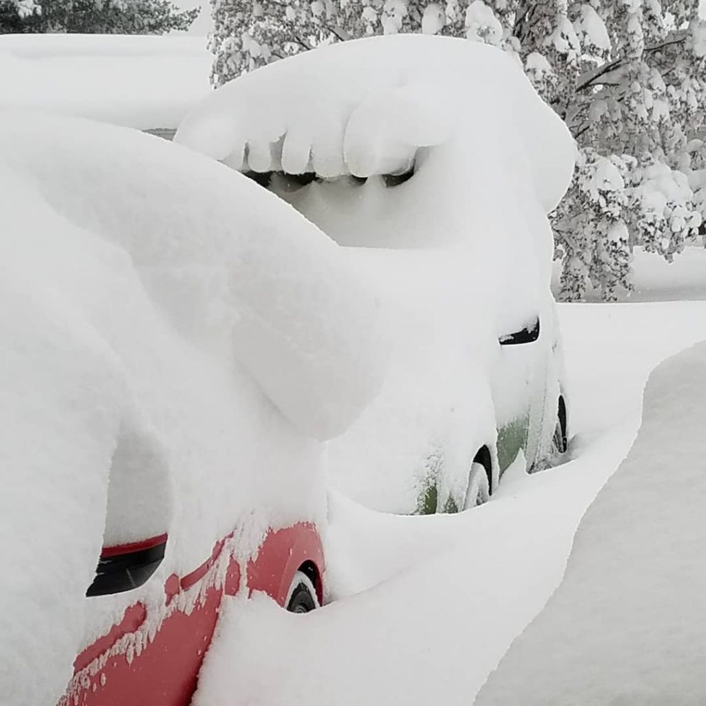
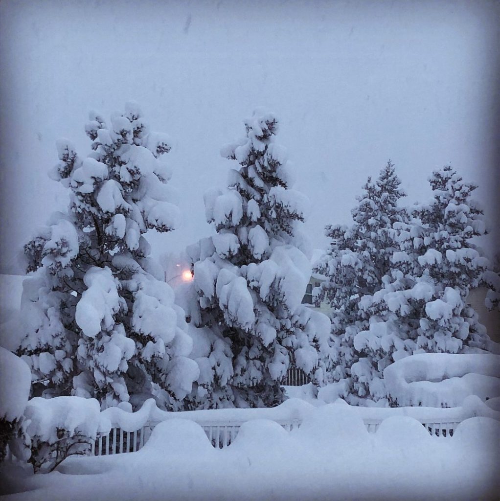
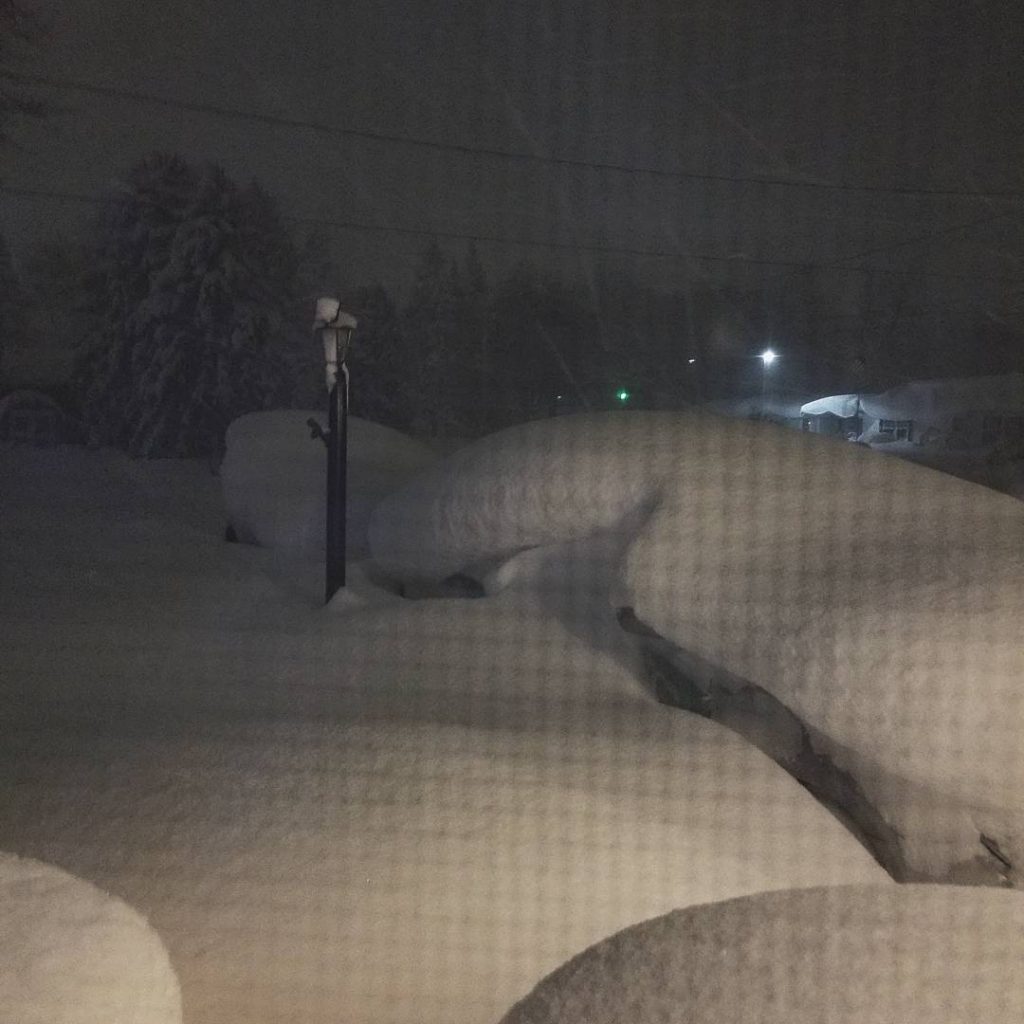
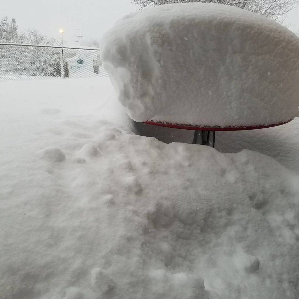
A lake-effect snowband dumped over 4 feet of snow in Erie, Pennsylvania, in just over one day’s time. This shattered the city’s calendar-day snowfall record, on Christmas Day. Continuing into Tuesday, this also clobbered the previous state record two-day snowfall as Erie picked up more snow in 30 hours than their previous 13-day snowfall record. Officials declared a snow emergency for the city.
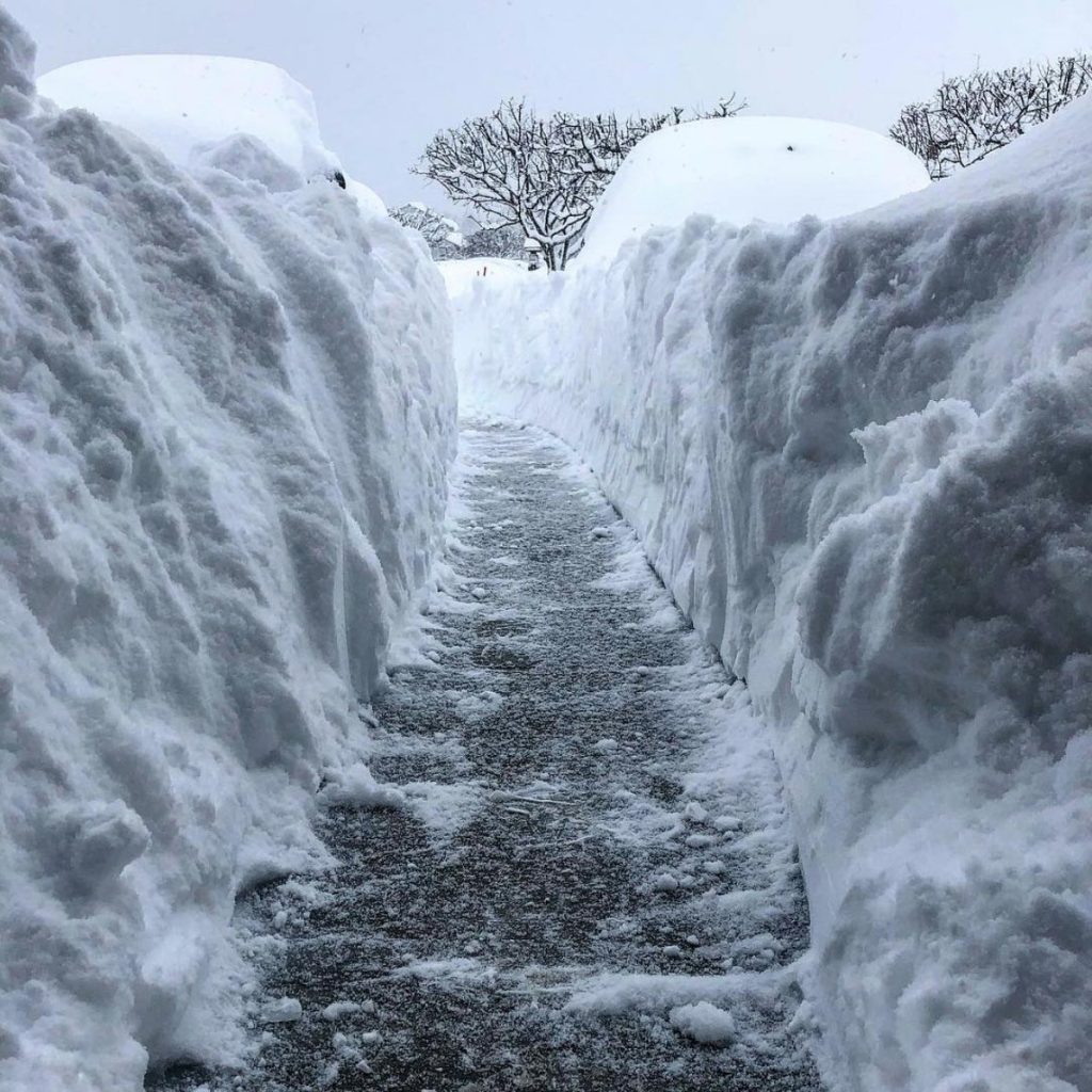
A stationary lake-effect snowband off Lake Erie dumped an incredible 34 inches of snow at Erie Airport on Christmas Day alone, quadrupling their previous record snowiest Christmas Day – 8.1 inches in 2002 – as well as smashing their all-time snowiest single day on record by over a foot – 20 inches on Nov. 11, 1956.
With an additional 3.5″ of snow at the Erie, PA airport as of 5PM, this brings the two day (12/25-26) total up to 58″ and the storm total (From 7PM Christmas Eve thru 5PM 12/26) up to 60.0″. Heavy snow continues to fall. Here is a look at some of the records. #pawx pic.twitter.com/BN5txOpByZ
— NWS Cleveland (@NWSCLE) December 26, 2017
That heavy snow continued into Tuesday, bringing their storm total since 7 p.m. EST Christmas Eve to an incredible 56.5 inches of snow – just over 4.5 feet – in 42 hours.
This prolific event shattered all previous multi-day snowfall records in Erie dating to 1893, according to the National Weather Service office in Cleveland, including:
- Two-day snowfall: 26.7 inches (Nov. 24-25, 1950; the “Great Appalachian Storm”)
- Three-day snowfall: 30.2 inches (Dec. 29-31, 2002)
- Seven-day snowfall: 39.8 inches (Dec. 27, 2001 – Jan. 2, 2002)
- 13-day snowfall: 52.8 inches (Dec. 31, 1998 – Jan. 12, 1999)
That’s not a misprint. Erie picked up more snow in less than 36 hours in this event than their previous 13-day snowstorm record.
Needless to say, the 92 inches of snow so far in December is the city’s snowiest single month on record, crushing the previous record of 66.9 inches in December 1989.
This wasn’t just a snowstorm record for the city, however.
According to the National Weather Service office in Cleveland, Erie also shattered the previous Pennsylvania state two-day snowstorm record of 44 inches set in Morgantown from March 20-21, 1958.
This northwest Pennsylvania city of just under 100,000 is used to heavy lake-effect snow, and is one of America’s snowiest cities, averaging 101 inches of snow a year.
However, picking up roughly the average December and January snowfall – 57.1 inches – in just over a day is something long-time residents have never seen before.
Put another way, Erie picked up more snow in this event than the yearly average snowfall in the following cities:
- Minneapolis/St. Paul: 53.4 inches
- Boston: 43.5 inches
- Chicago: 37.1 inches
Meanwhile, a dangerous Arctic cold blast is to last into the first week of January 2018 in the Plains, Midwest and East. The extreme cold front is approaching the Midwest and Northeast and a severe cold protocol weather was activated in Connecticut Tuesday. Wind chills are expected to drop up to 30 degrees below zero. Although the outbreak may not break many daily records, this could be the coldest air of the season so far for some. Subzero temperatures are expected near the Canadian border.

Another extreme cold weather event. They are increasing, aren’t they?


That’s Gods way of telling you to stick that global warming hoax up your wazoo.
[…] post Lake-effect snowstorm hammers Erie, Pennsylvania shattering at least one all-time Pennsylvania snows… appeared first on STRANGE SOUNDS – AMAZING, WEIRD AND ODD […]