Heavy lake-effect snow blanketed the Southern Tier and the southern half of Erie County on Monday with two feet or more of snow.
Now it’s Buffalo’s turn. The Buffalo metro area is about to get hit by widespread snow, followed by lake effect snow, throughout the day Tuesday.
A lake-effect snow warning is in effect from 10 a.m. to 10 p.m. Tuesday for Buffalo.
Niagara County, particularly the southern part, is also expected to get hit by the snow and wind Tuesday.
An Alberta clipper is expected to bring widespread snow to Western New York, from the Pennsylvania border to the Lake Ontario shore.
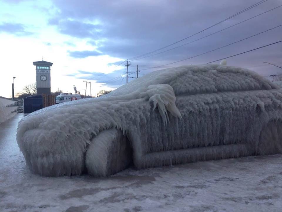
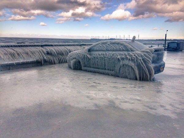
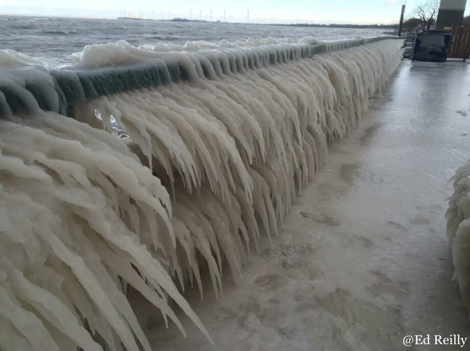
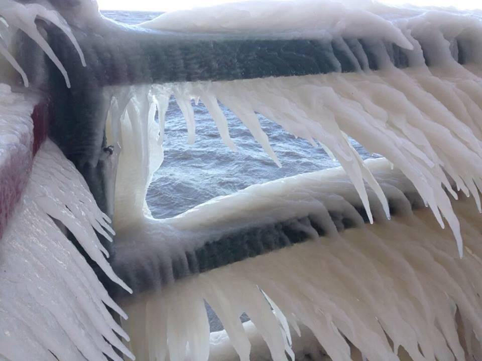
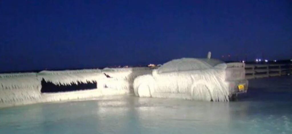
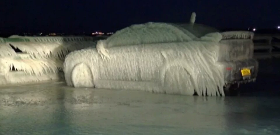
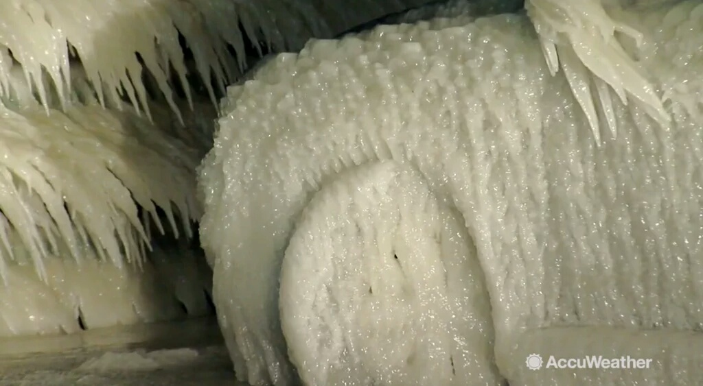
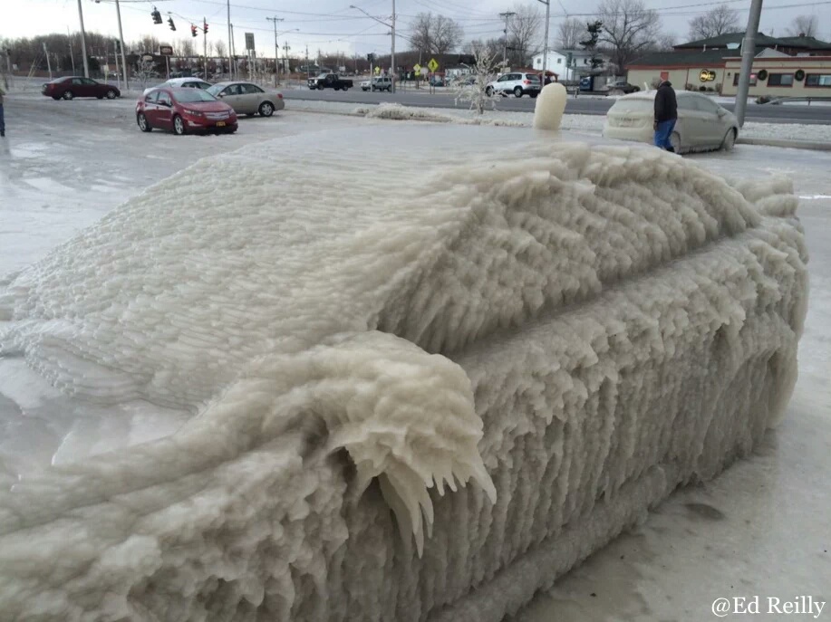
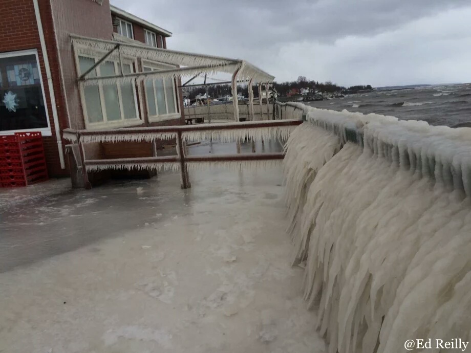
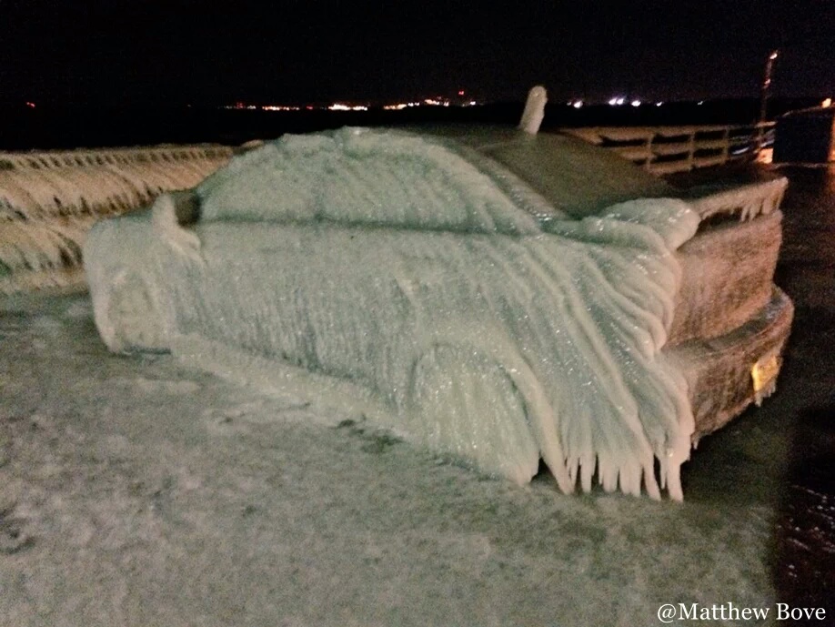
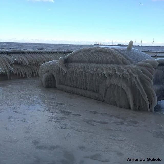
Look at the ice car on video:
Strong, blustery winds, could gust as high as 40 mph.
By late afternoon or evening, that widespread snow is going to morph into another round of lake effect.
And this one is expected to settle over metro Buffalo with totals for the day ranging from four to eight inches.
We could have blizzard-like conditions in the lake-effect bands.
Visibility was expected to be terrible Tuesday, particularly around the evening rush hour time – no more than a few hundred feet.
Tuesday night, a lake-effect band is expected to set up across the ski country region, bringing four to seven inches of additional snow.
Wednesday
During the day Wednesday, the area may see another six to nine inches.
The snow band will move its way north through southern Erie County and then hit Buffalo by night time again, leaving another six inches to a foot of snow in the city.
Southern Erie may get as much as one to two feet during Wednesday.
Thursday and Friday
The lake-effect band is expected to taper off during the overnight hours Wednesday into Thursday.
Friday, there’s a “slight chance” of snow showers.
Saturday
It’s not until Saturday when the temperatures look like they’ll ease up and leave us with a mix of light rain or snow showers.
Buffalo was also engulfed by an extreme blizzard in November 2014.

