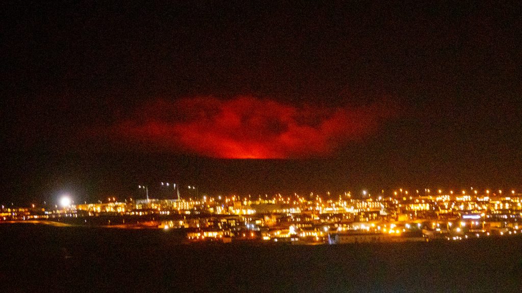
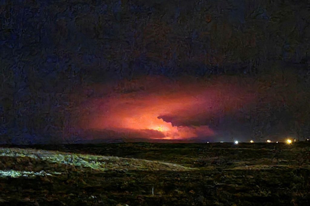
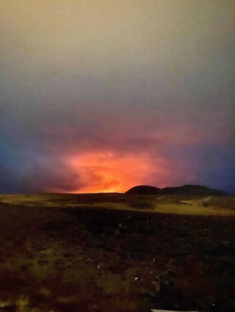
We have the first pictures and videos of the eruption underway in the Reykjanes Peninsula, about 50 km from the Icelandic capital. They were captured from an helicopter of the Icelandic Coast Guard.

According to the first data, there is a volcanic fissure about 200 meters long from which 2 lava flows have already emerged!

A red cloud lit up the night sky after the eruption began in Fagradalsfjall on Friday about 40km (25 miles) from the capital Reykjavik. A no-fly zone has been established in the area.
Public has been advised to stay away from the area.
More than 40,000 earthquakes have occurred in the area in the past four weeks, a huge jump from the 1,000-3,000 earthquakes registered each year since 2014.

Volcanic eruptions in the region are known as effusive eruptions, where lava flows steadily out of the ground, as opposed to explosive ones such as that of Eyjafjallajökull in 2010 which spewed ash clouds high into the sky and paralysed air traffic in Europe for weeks. However, all flights in and out of the airport have been halted.
The Krysuvik volcanic system has been inactive for the past 900 years, according to the meteorological office, while the last eruption on the Reykjanes peninsula dates back almost 800 years to 1240.

The source of the eruption is a large body of molten rock, known as magma, which has pushed its way to the surface over the past weeks, instigating the earthquakes.
Now subscribe to this blog to get more amazing news curated just for you right in your inbox on a daily basis (here an example of our new newsletter).
You can also follow us on Facebook and/ or Twitter. And, by the way you can also make a donation through Paypal. Thank you!


