Geological officials in Japan say last week’s magnitude-7.3 earthquake that hit the Iran-Iraq border has raised the ground by up to about 90 centimeters as shown by these new pictures captured by the land-observing satellite Daichi-2 from the Geospatial Information Authority of Japan.
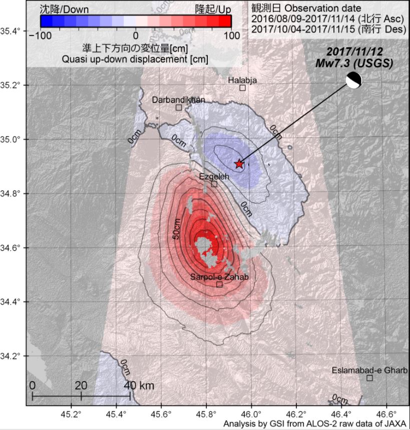
The officials say their analysis suggests the ground sank up to 30 centimeters near the epicenter. Land rose 10 to up to 90 centimeters over a stretch of about 80 kilometers south of the epicenter.
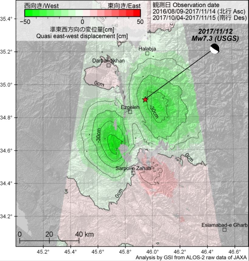
The officials say the data is almost in line with analysis by the US Geological Survey. The US agency said seismic waves indicated the quake was caused by reverse faulting, in which layers of rock shift at an angle.
Japanese geological official Hiroshi Yarai says the data suggests the ground swelled by about 40 centimeters in Sarpol-e Zahab, western Iran, where many buildings collapsed. He said large ground deformation appears to have caused the powerful tremor.
The Iran-Irak quake is the deadliest earthquake in 2017 so far with over 500 dead and more than 7,000 injured.


[…] The officials say their analysis suggests the ground sank up to 30 centimeters near the epicenter. Land rose 10 to up to 90 centimeters over a stretch of about 80 kilometers south of the epicenter. The officials say the data is almost in line with analysis by the US Geological Survey. The US agency said seismic waves indicated the quake was caused by reverse faulting, in which layers of rock shift at an angle. READ MORE […]
The Himalayas continue to grow, in these areas there are many faults and mountain ranges, which are growing and raising the ground little by little.