It was monsoon madness Thursday in the Valley, Arizona!
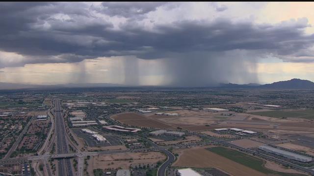
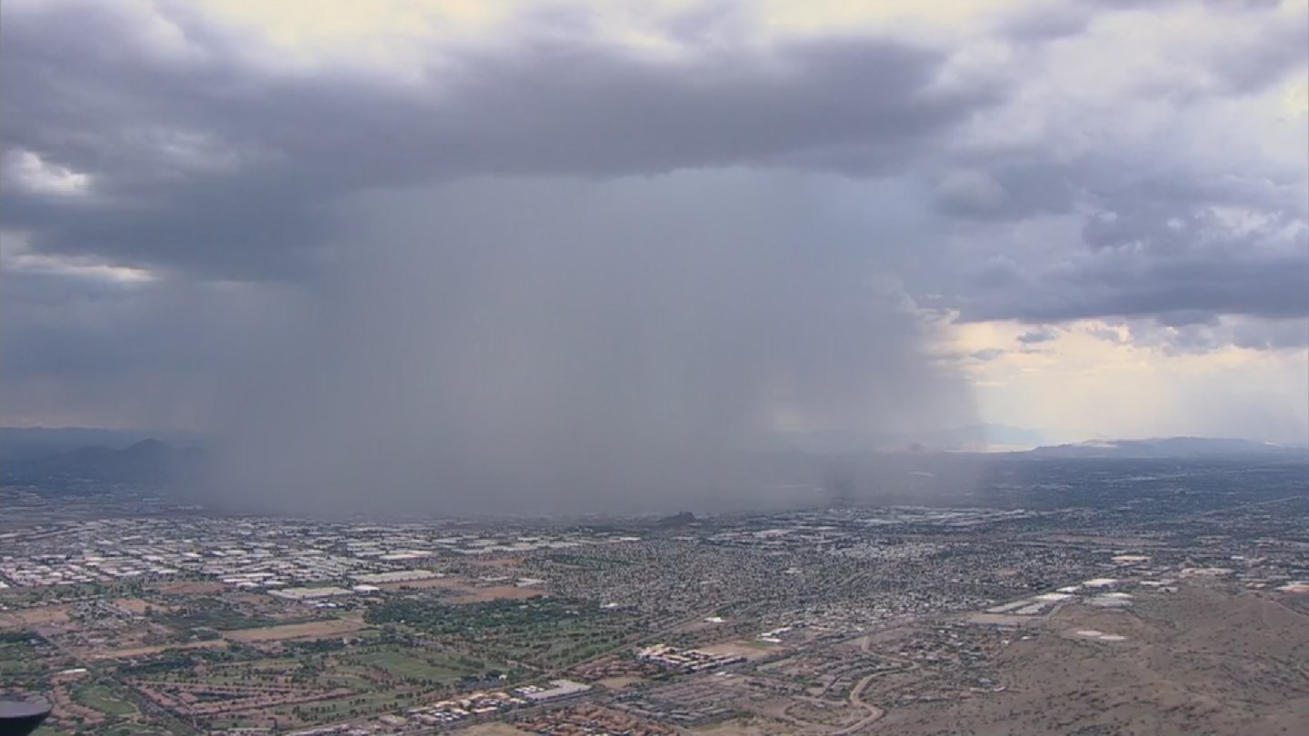
Powerful monsoon storms brought heavy rain, flooding, wind, lightning, hail and even a tornado to parts of the Valley on August 3, 2017.
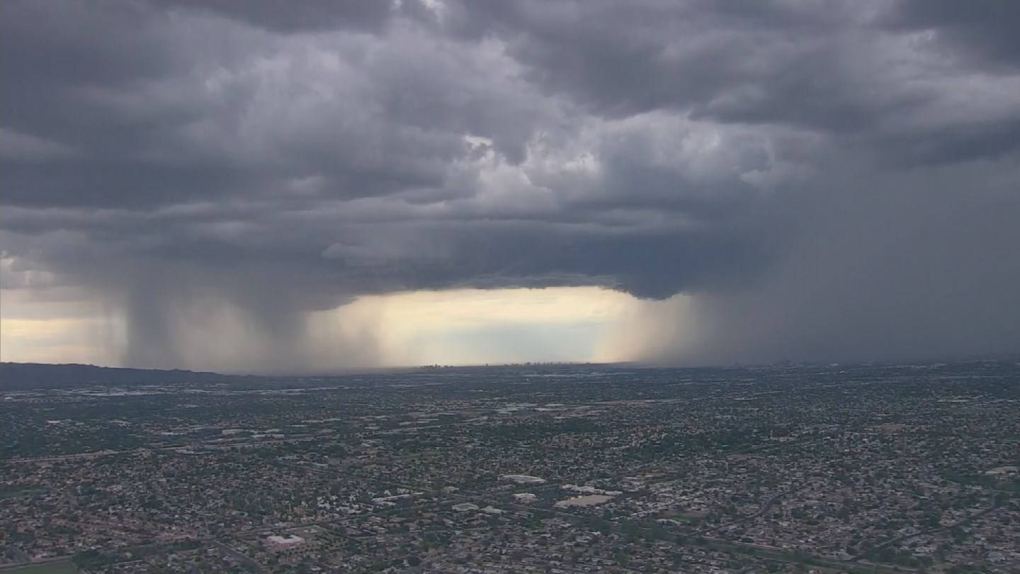
Look at this crazy video of the downburst crashing on downtown Phoenix:
Severe thunderstorm warnings were issued throughout the early evening rush hour. Penny-sized hail and winds of up to 60 mph were predicted.
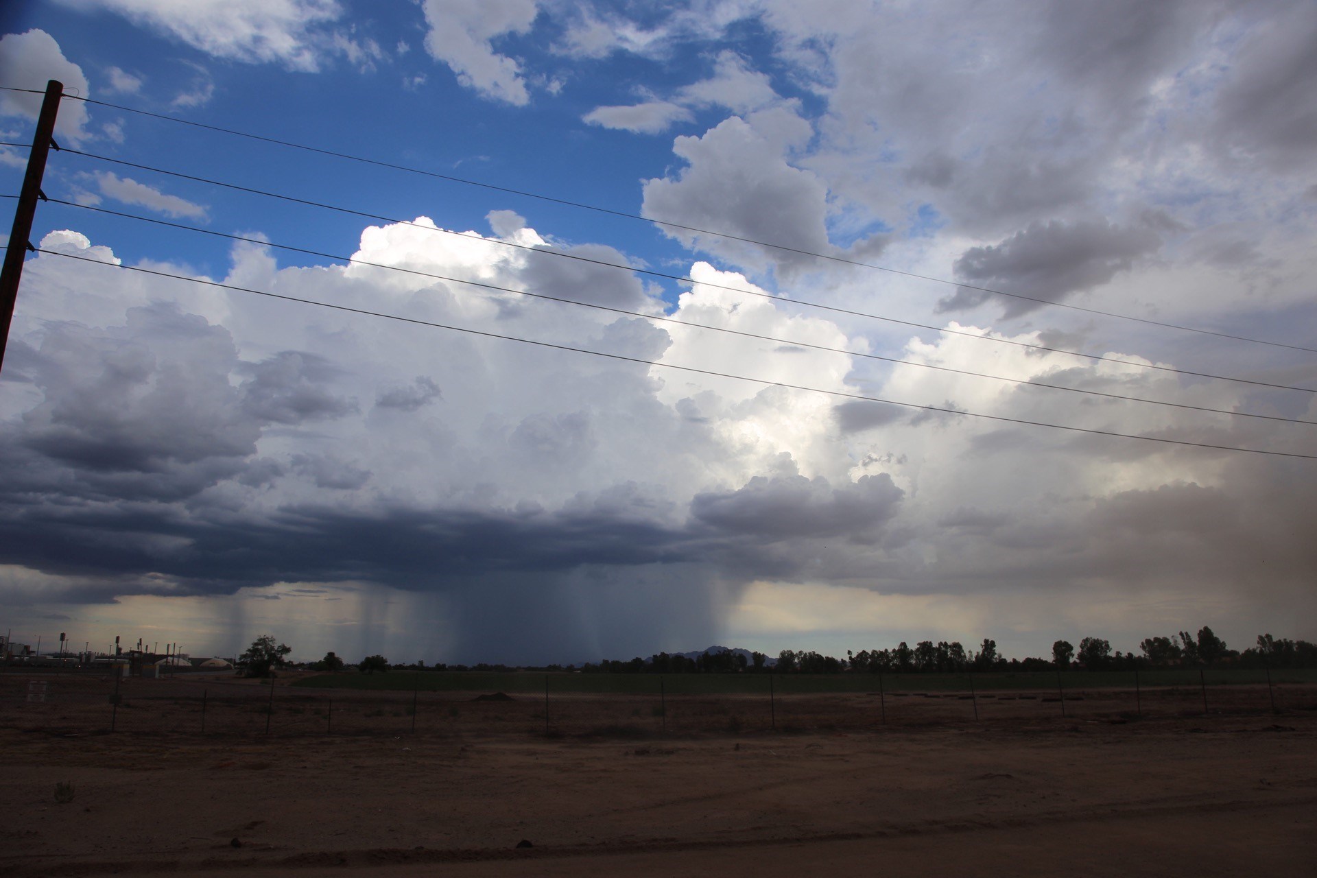
The rains moved from the north Valley through town into the south and east part of town, leaving a path of damage in their wake.
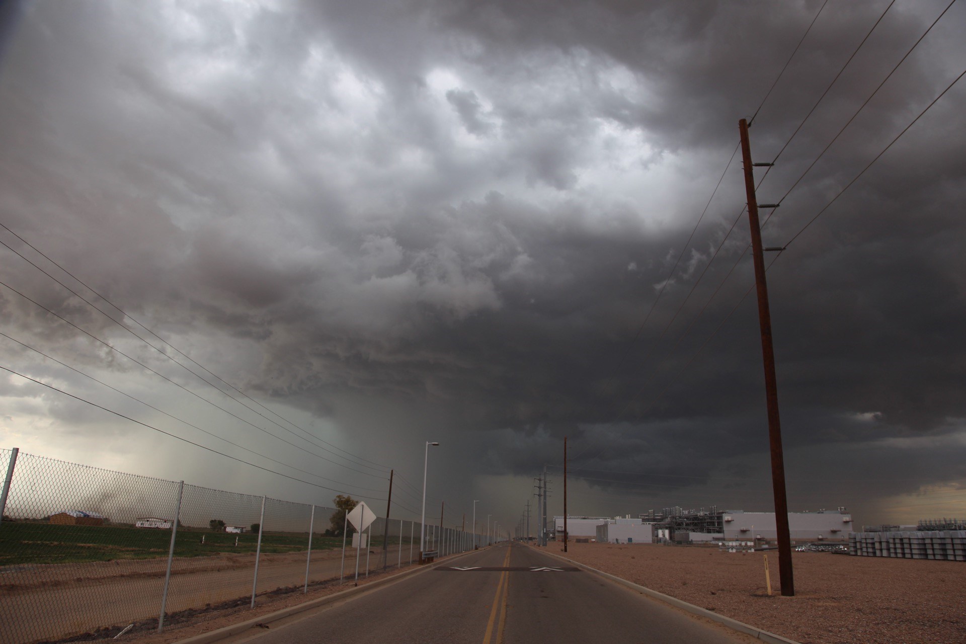
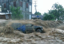
Streets were flooded and some roads were closed.
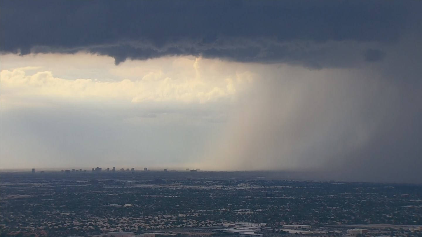
Here some other videos captured from around the web:
Drivers on eastbound U.S. 60 at McClintock found themselves trying to navigate flooded freeway lanes.
Even the airport was affected. For awhile, no flights were departing from Sky Harbor, and arrivals were limited.
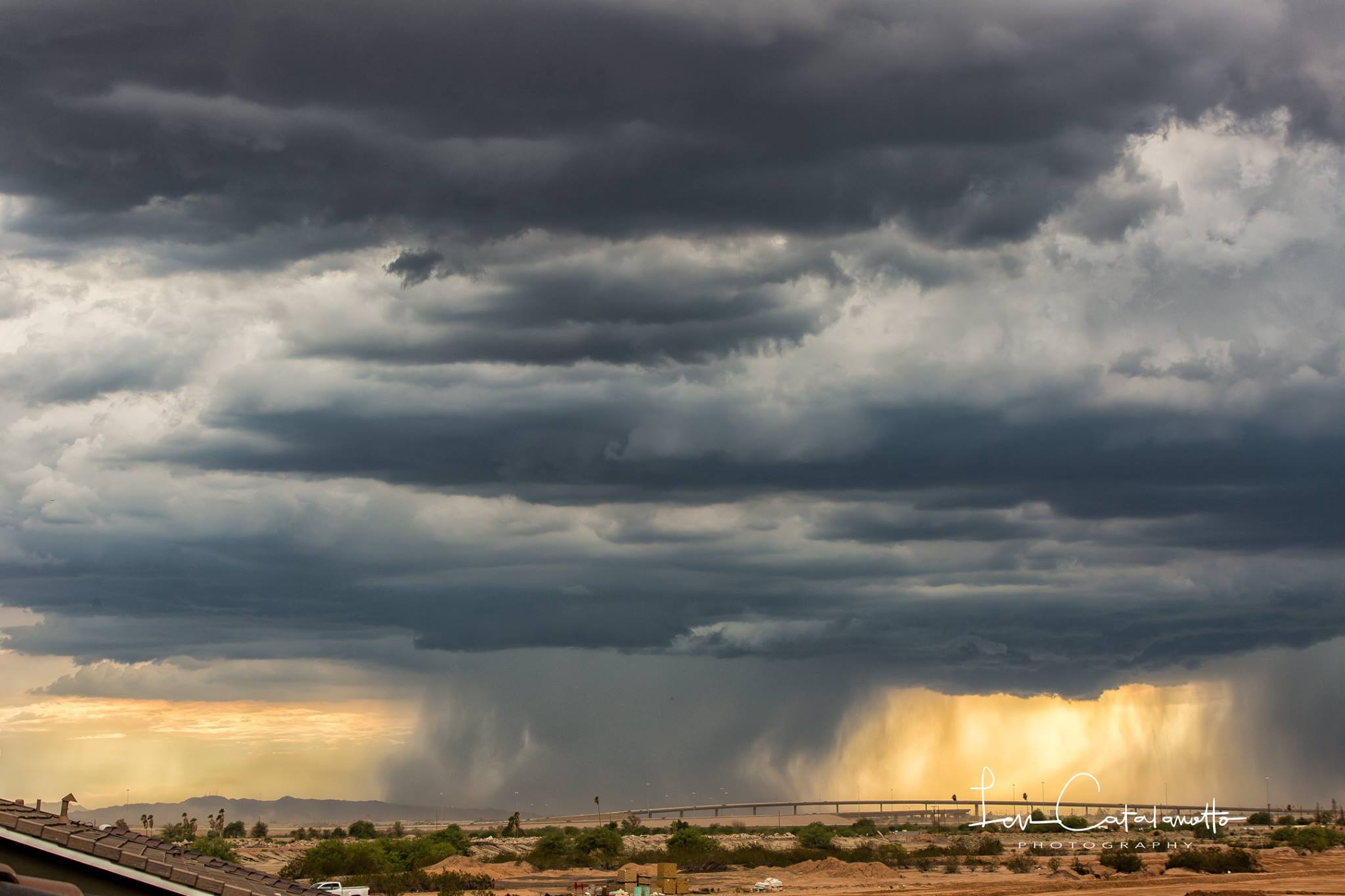
A monster thunderstorm. It’s huge. And som roads flooded in Phoenix area:
Power poles and lines were reported down around the Valley, causing some widespread power outages. More than 20,000 APS and SRP customers were affected by power outage in the Valley.
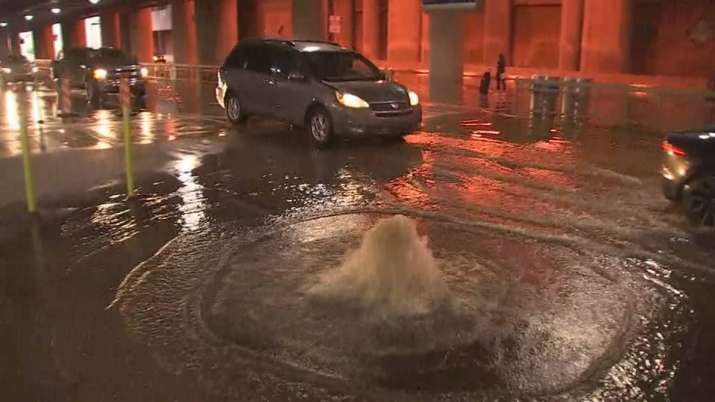
Water was pouring out of the ground and flooding terminal 4 passenger pick up! Both north and south curbs at Phoenix airport:
NOW: water pouring out of the ground and flooding terminal 4 passenger pick up! Both north and south curbs! @PHXSkyHarbor @abc15 pic.twitter.com/LmtlNra0YH
— Joe Bartels (@Joe_Bartels) August 4, 2017
And here:
NOW: Pickup lanes flooded outside @PHXSkyHarbor terminal 4 baggage claim @abc15 pic.twitter.com/1Une9536R7
— John Genovese (@JEGenovese) August 4, 2017
Despite warm temperatures that reached about 104 degrees in the afternoon, some moisture over the region generated the possibility for thunderstorms in the Valley Thursday night.
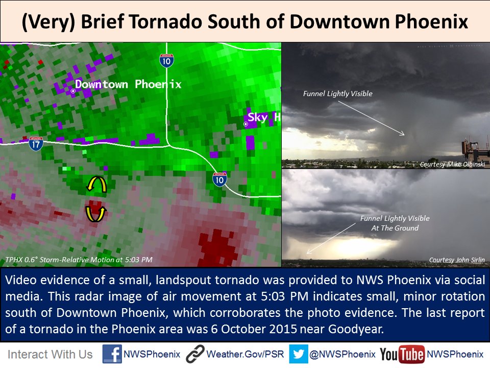
The National Weather Service issued a Severe Thunderstorm Warning for the Anthem, Cave Creek, Carefree and New River areas. NWS also issued a Flash Flood Warning for the Wellton, Tacna and Roll areas. NWS later issued alerts for Mesa, Gilbert and Tempe.



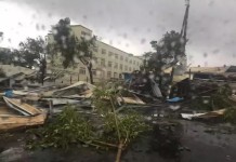



I don’t see any reports of the tornado that hit East Mesa yesterday (8/3/17). What used to be “Higley” now within the city limits of Mesa (Sossamam Rd & Warner – Ellsworth & Warner).
Tornado ripped through the Maynard Dairy uprooting 40′ tall trees, picking up a BBQ Grill and smashing car windows before literally throwing the grill over a house. Steel coverings for the dairy cows were ripped from their foundations and scattered in large piles in many different locations. Some of the debris trapping some of the cows underneath its steel structure.
However, nothing retorted in today’s news?
Thanks for the info! I will search and add your report to the blog.