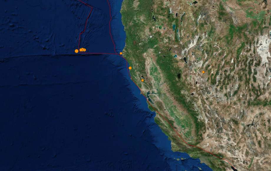
At least five small earthquakes rattled the Pacific Ocean southwest of Eureka off the Northern California coastline Saturday and Sunday. The largest had a magnitude of 4.8, and there were no reports of any damage associated with the quakes. But today, the map of >2.5 earthquake is blank… Pretty weird, no?

The strongest of the quakes, which mostly occurred in the highly active area near the North Coast, were clustered about 150 miles off Ferndale. In the late-night hours of May 4, earthquakes with a magnitude of 4.8, 4.3, 3.3 and 3.2 all struck below the ocean’s surface.
It’s a common occurrence for the area; the North Coast is the juncture of three plates, creating the Mendocino triple junction. The push and pull of the plates leads to increased seismic activity.
The earthquakes in the ocean above a magnitude of 2.5 reported by the USGS on Saturday and Sunday include:
- A 3.1 magnitude quake at 9:17 p.m. PDT Saturday in the Pacific Ocean.
- A 3.3 magnitude quake at 11:29 p.m. Saturday about 156 miles west of Ferndale, California, which lies south of Eureka.
- A 4.3 magnitude quake at 11:32 p.m. Saturday in the Pacific Ocean.
- A 4.8 magnitude quake at 11:46 p.m. Saturday in the Pacific Ocean about 164 miles west of Ferndale.
- A 3.2 magnitude quake at 12:12 a.m. Sunday in the Pacific Ocean about 170 miles west of Ferndale.
A sixth quake in the cluster struck on land 18 miles northwest of Petrolia, California, at 2:13 a.m. Sunday. It had a magnitude of 2.8.
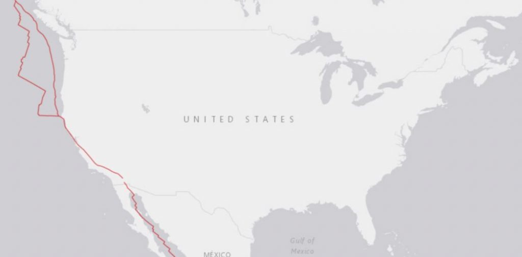
But today, the map of US earthquakes >M2.5 is blank!

Hopefully this isn’t a sign of the next ‘Big One’ coming!


