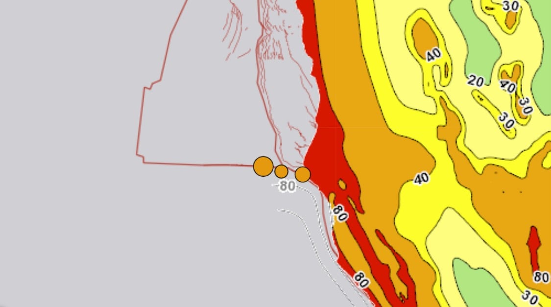
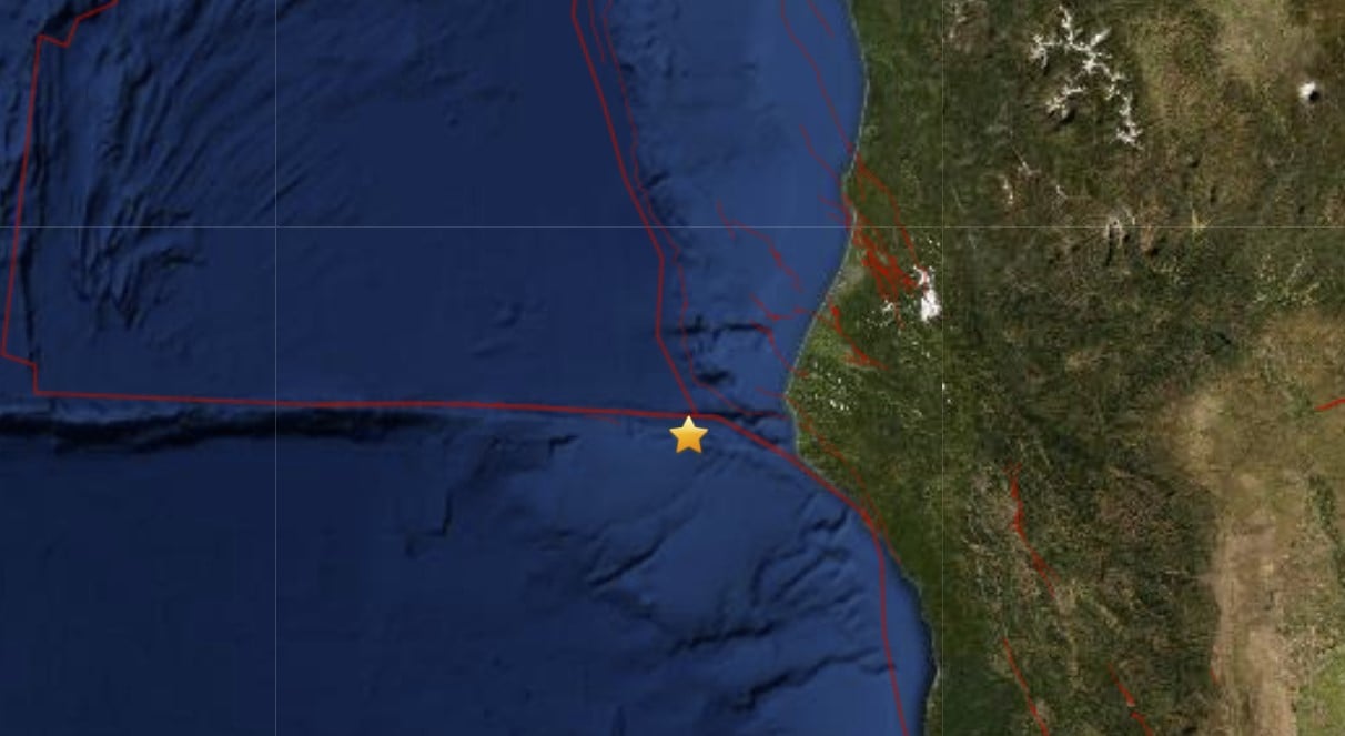
Three moderately strong earthquakes hit along the Mendocino fracture zone within the last 15 hours.
The first tremor was a M3.2 – 12km WSW of Petrolia, CA
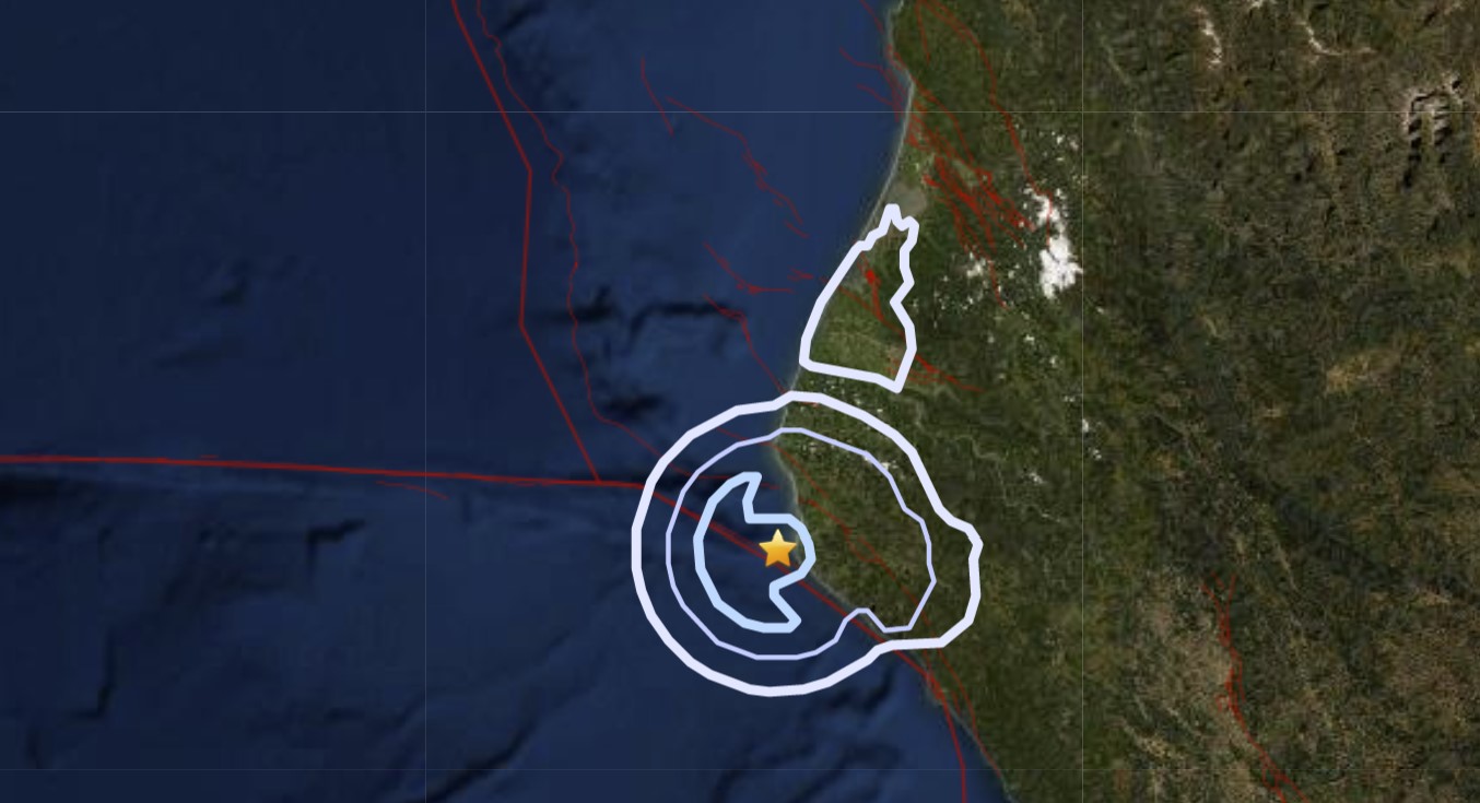
It was followed by a M4.4 – 102km W of Petrolia, CA
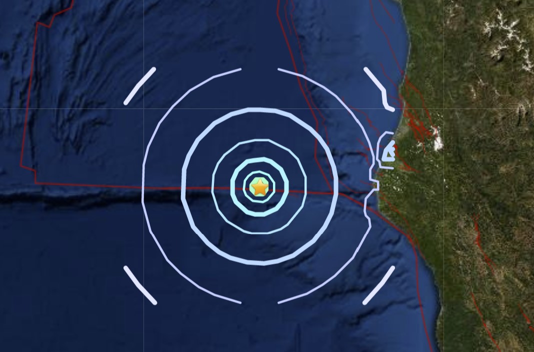
Finally, a third M2.9 – 46km W of Petrolia, CA hit a few hours later.
Is it the last tremor? One sure is clear, this small series of quakes is a clear reminder that you should be ready or preparing for the next Big One in the area.
The 1992 Petrolia earthquakes
Also known as the 1992 Cape Mendocino earthquakes, the 1992 Petrolia earthquakes occurred along the Lost Coast of Northern California on April 25 and 26.
The three largest jolts were the M7.2 thrust mainshock that struck near the unincorporated community of Petrolia midday on April 25 and two primary strike-slip aftershocks measuring 6.5 and 6.6 that followed early the next morning.
The sequence encompassed both interplate and intraplate activity that was associated with the Mendocino Triple Junction, a complex system of three major faults (including the Cascadia subduction zone, San Andreas Fault, and Mendocino Fracture Zone) that converge near Cape Mendocino.
The total number of aftershocks that followed the events exceeded 2,000.
The three shocks damaged and destroyed homes and businesses in Humboldt County and injured up to 356 people, but the single largest loss was due to a post-earthquake fire that consumed a business center in Scotia.
Thvideo below is the news coverage from Sunday, April 26, 1992, the day of the two devastating aftershocks.
Accelerometers that had been in place in the Cape Mendocino area since the late 1970s recorded the event and the readings were moderate to strong, with the exception of the instruments closest to the epicenter, which went off scale a few seconds into the recording.
No surface ruptures were present in the epicentral area, but landslides closed roads and railroad tracks for at least a week while cleanup took place. Also discovered was about 1 m (3 ft 3 in) of coastal uplift near Cape Mendocino and Punta Gorda.
As the largest earthquake in California since the 1989 Loma Prieta event several years earlier, the mainshock caused a non-destructive tsunami that quickly reached the coast, and eventually Alaska and Hawaii several hours later.
The tsunami was significant not because of its run-up, but because of the speed with which it reached the coast and for how long the waves persisted.
Other strong earthquakes have affected the same area, with some that were clearly associated with the (interplate) Mendocino Fracture Zone, and others (like the two shocks on April 26) were intraplate earthquakes that ruptured within the Gorda Plate, but events that are unequivocally associated with the Cascadia subduction zone are very infrequent.
The Cascadia megathrust earthquake
Back in 2015, a prominent New Yorker article sounded the alarm on Cascadia’s tsunami and earthquake problem. The story by Kathryn Schulz, titled “The Really Big One,” reminded some about the Cascadia Subduction Zone (CSZ), a geological hotspot that rivals the famous San Andreas Fault.
Seven times in the past 3,500 years, the CSZ has buckled and fractured to produce an earthquake so massive that it left a mark in the geologic record.
Schulz’s story explains exactly what could happen should the CSZ shake the earth with its full seismic potential. Buildings would crumble, and thousands would die. It would be an unavoidable economic and humanitarian disaster from Vancouver Island to northern California. Worse yet, a magnitude-9 rupture along the CSZ could trigger the San Andreas as well.
Yet the importance of disaster awareness here has never been greater. Scientists are mining the earth for data to predict the wheres and whens.
The Cascadia Subduction Zone has not produced an earthquake since 1700 and is building up pressure where the Juan de Fuca Plate is subsiding underneath the North American plate.
Currently, scientists are predicting that there is about a 37% chance that a megathrust earthquake of 7.1+ magnitude in this fault zone will occur in the next 50 years. This event will be felt throughout the Pacific Northwest. The odds of a lesser but still major event are even greater.


Sodom and Gomorrahfornia again. Expect the worst.
https://duckduckgo.com/?q=Northridge+quake&t=h_&ia=images&iax=images
Northridge quake pictures:
6.7 Magnitude
https://duckduckgo.com/?q=Sylmar+quake&t=h_&iax=images&ia=images&iar=images
Sylmar quake pictures:
6.5 Magnitude
Lived through these quakes. Also many in the 5-6 Magnitude. Dogs will alert beforehand. They know.
I was present for the 7.1 in Anchorage a couple years back. Pretty good shake and was followed with a few 5.+