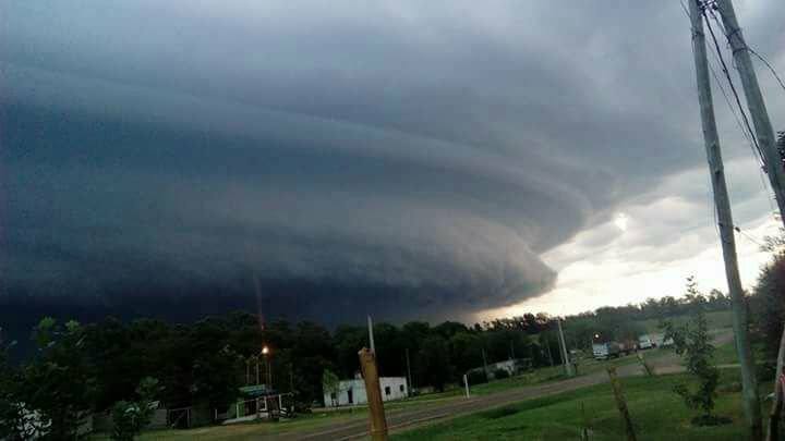
If ever you felt uncertain about the sheer power of thunderstorms, these images and the impressive video of a gigantic forming supercell over Nuevo Berlín in Uruguay should convince you.
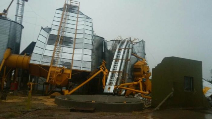
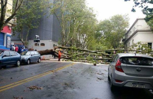
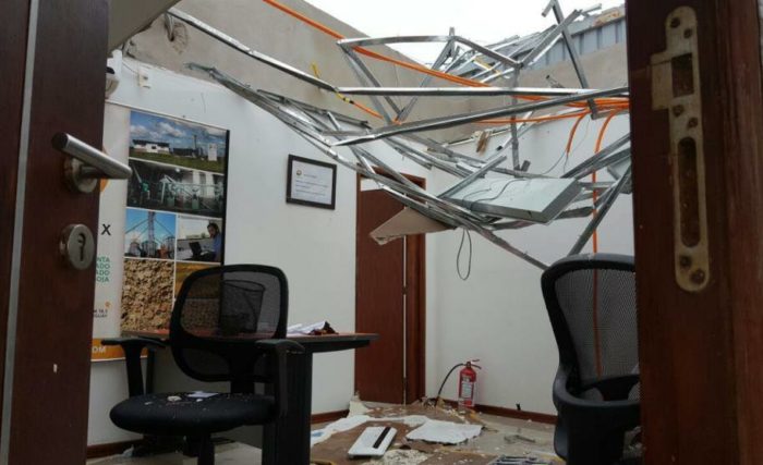
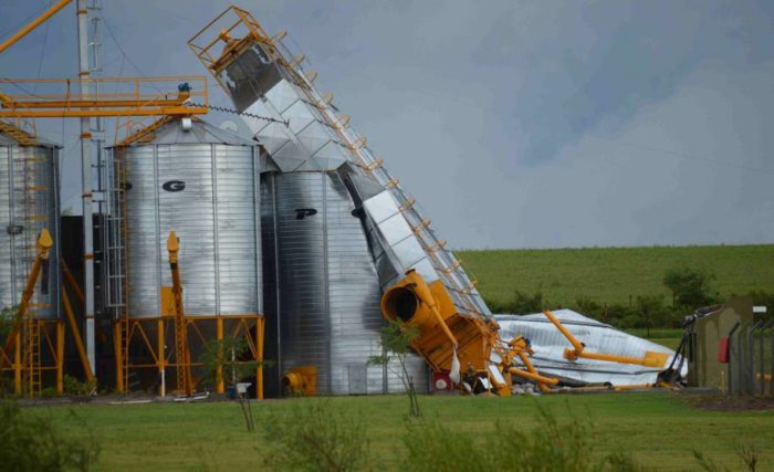
The superstorm engulfed the department of Rio Negro, uprooting trees, destroying houses and cutting power to several hundreds of residents.
Supercells are severe thunderstorm, notable for both their rotating winds and for the long duration they can play out over.
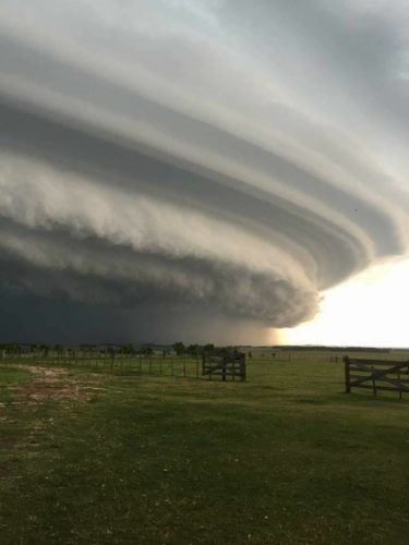
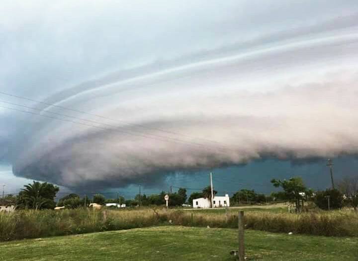
Though this particular one did not touch down to form a tornado, it’s easy, as you watch the clouds spin rapidly overhead, to see just why supercells often do end in tornadoes, or at the very least extremely damaging storms.

A supercell is a highly organized thunderstorm with some components that set it apart from other thunderstorms. Supercells have the capability to produce tornadoes, damaging hail and strong downdrafts. All tornadoes are spawned from a parent supercell, but not all supercells produce tornadoes.
Supercells require strong “veering” of the winds, which means the winds are turning clockwise with height. The turning of the winds with height helps the thunderstorm develop its most essential component: the mesocyclone.
A mesocyclone is formed when a thunderstorm updraft meets veering winds. As the air rises in the thunderstorm, the winds will begin to twist the updraft until the whole column of air is rotating. The meso is usually found in the right rear flank of the supercell and is typically 2-6 miles wide. The mesocyclone appears as a yellow circle on Doppler velocity products, but you can often see the rotation with your bare eyes.
Otro video de la tormenta de esta madrugada en el centro del país, en este caso grabado por oyente en Flores, entre Trinidad y Andresito. pic.twitter.com/zgmljjr4GS
— Alternativa Durazno (@alternativadura) March 9, 2017
Durazno: video grabado por un oyente de la tormenta de esta madrugada en la zona de paraje Chileno. pic.twitter.com/7OXTgZHiAO
— Alternativa Durazno (@alternativadura) March 9, 2017
By the time severe weather hits, it’s already too late. Disaster preparedness is about having an established safety plan. Whether it’s preparedness for floods, earthquakes, hurricanes, or fires, the key to survival in disasters is planning. So GET PREPARED!


")

")
")