There are many storms out there, all of them perfect in their own way.
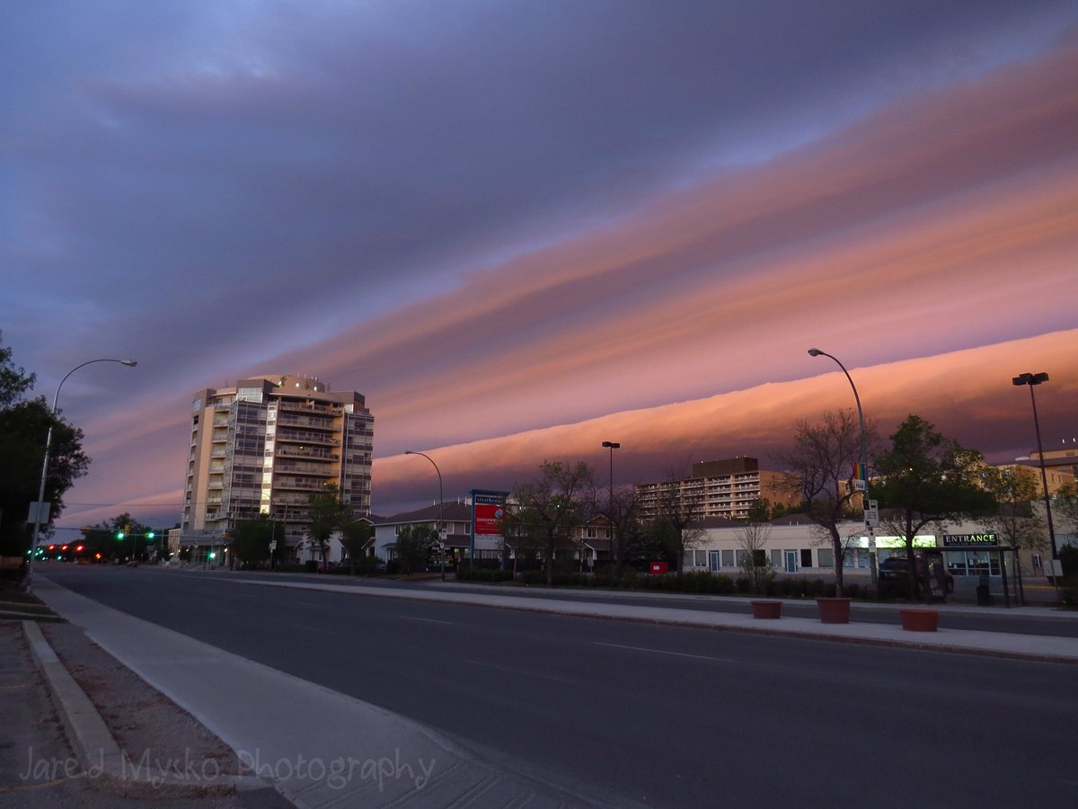
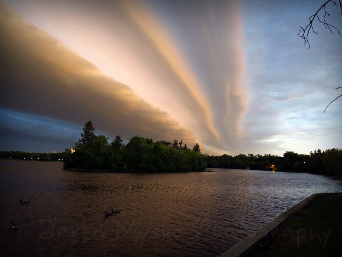
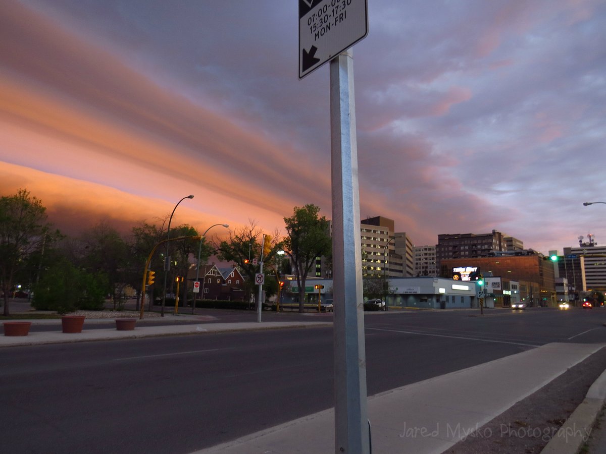
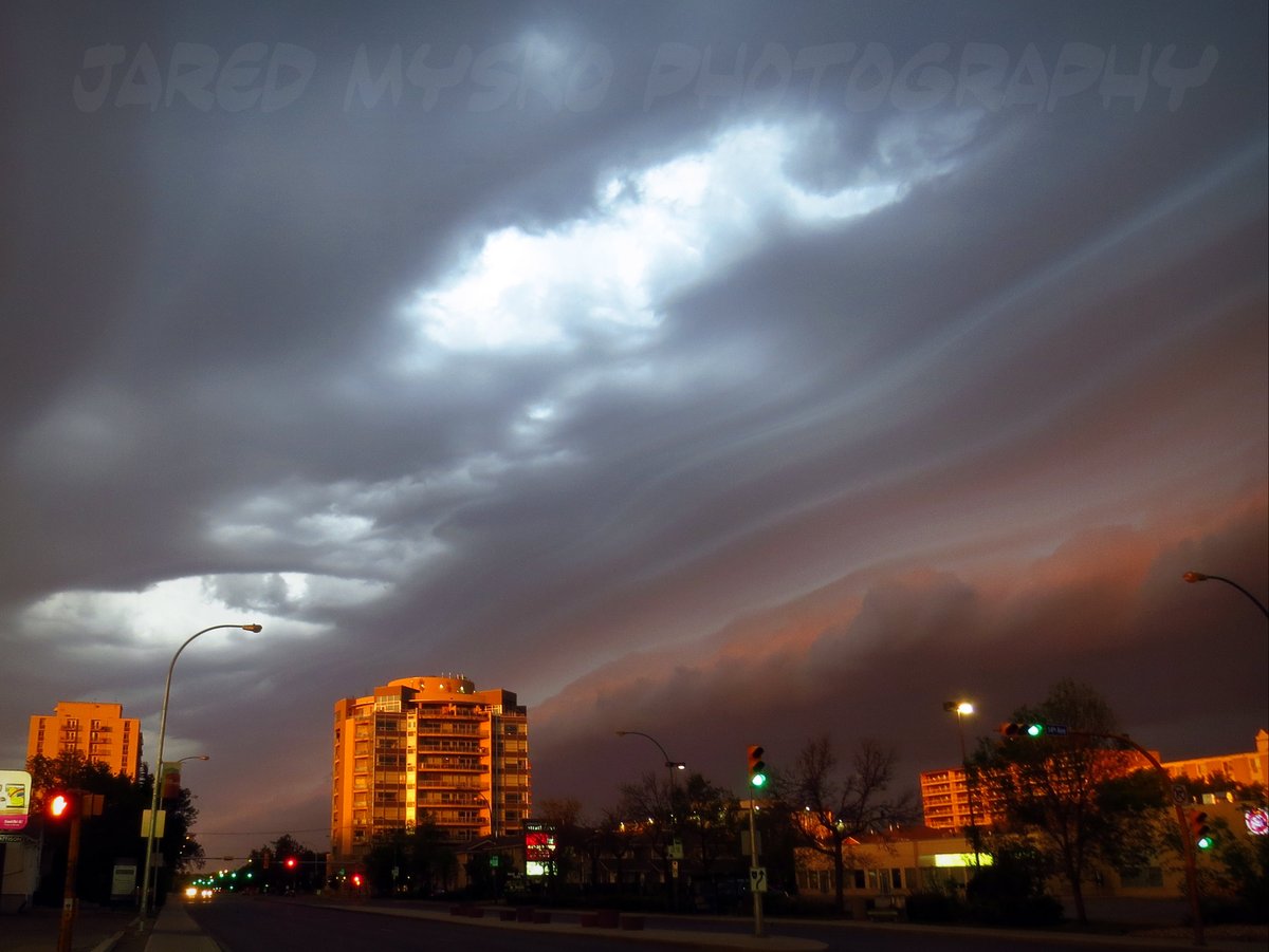
If you caught sight of this 200 miles long shelf cloud before the storm that hit Regina early Friday morning, you may have thought it would come down on top of you before the lightning, thunder and rain rolled in.
The Regina’s shelf cloud stretched from the U.S. border north, nearly hitting Davidson in Saskatchewan. That’s more than 200 miles long. And according to cbc.ca, it actually started in southern Alberta on Thursday.
Something wicked this way comes. @SheilaColesCBC @torygillis pic.twitter.com/2N8TKAsvXe
— Chris Arden Haynes (@ChooChooBoom) June 9, 2017
An apocalyptic taste is given by the sunrise color. Dramatic Regina on Friday morning, June 9, 2017.
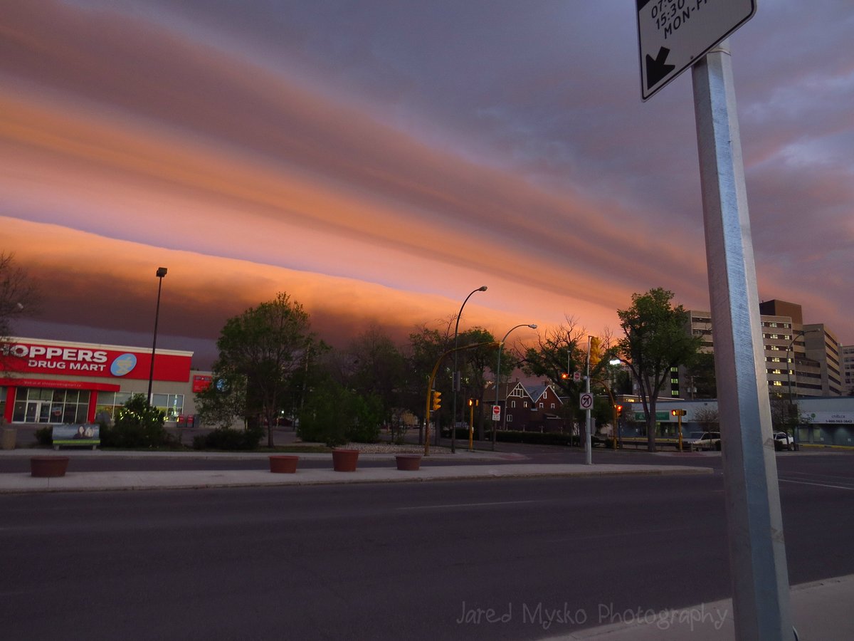
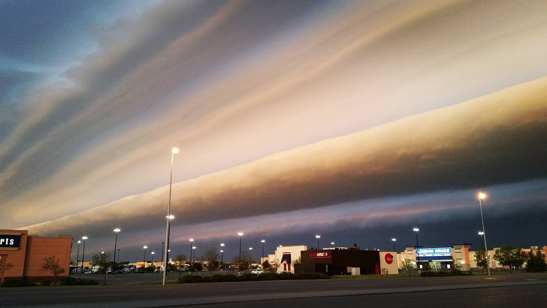
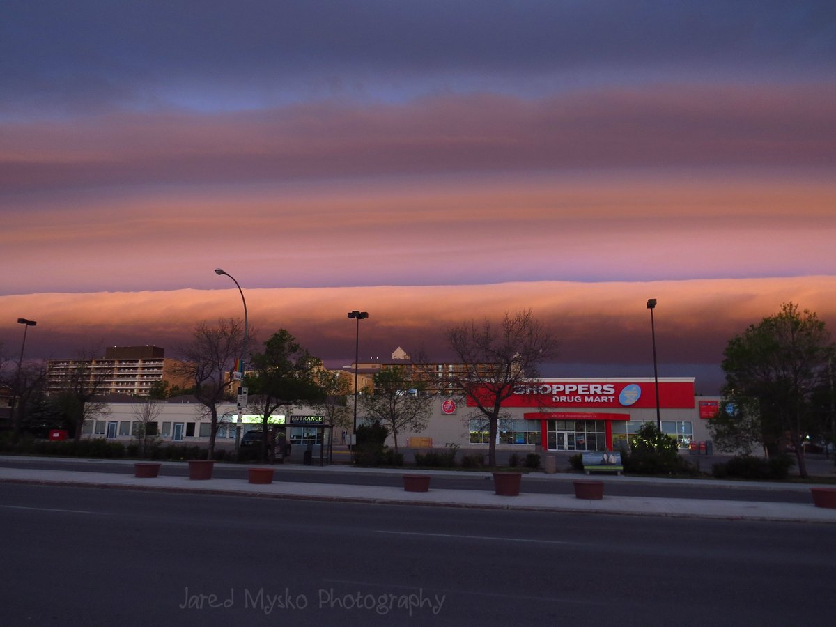
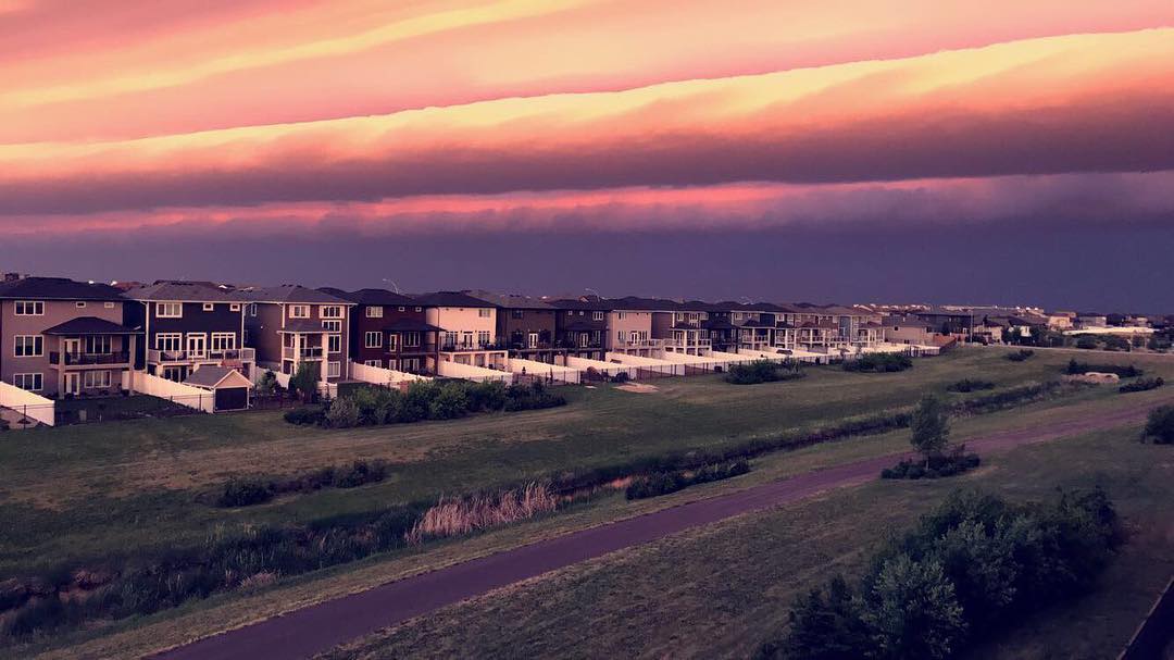
Look at this crazy shelf cloud, it’s so clear along the edge. You can almost see where the cold air meets the warm air that’s coming into the storm.
As posted on Environment Canada, there is a Severe Thunderstorm Watch for Southern Saskatchewan. There is a risk of strong thunderstorms this afternoon and early evening accompanied by very large hail, destructive winds or torrential rains.


