Clearly, Hurricane Hilda is not a typical storm.
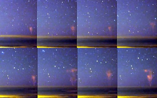
Most hurricanes don’t even have regular lightning because they lack vertical winds. But rarest gigantic jet lightnings appeared over Hurricane Hilda on August 10, 2015.

Unexpected lightning activity from Hurricane Hilda in the Pacific Ocean was forecast for August 10, 2015. But nobody expected what they actually witnessed. Mysterious gigantic jets were captured by the Canada France Hawaii Telescope CloudCam atop Mauna Kea, Hawaii.
Here a timelapse video of the extremely rare sky phenomenon:
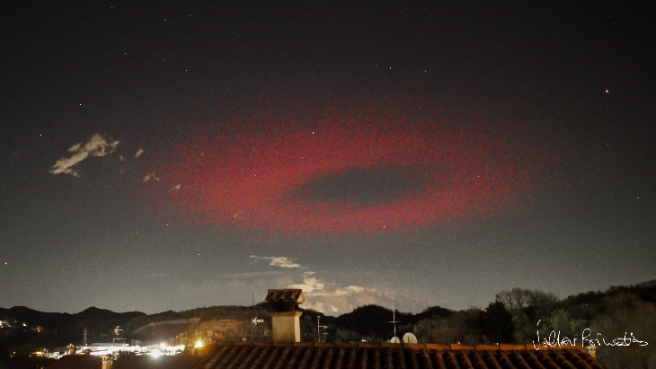
Gigantic jets are extremely rare but tremendously powerful kinds of lightning discharge linking some thunderstorms – in our case Hurricane Hilda – and the Earth’s ionosphere about 70 km above them. Gigantic jets are much different from regular cloud-to-cloud and cloud-to-ground lightning with a base ressembling that of blue jets and the tops similar to red sprites.
The mechanism and origin of gigantic jets is still a mystery, but it is clear that they homogenize charge imbalance between different parts of Earth’s atmosphere.


[…] Mysterious gigantic jets appear over unusual Hurricane Hilda […]