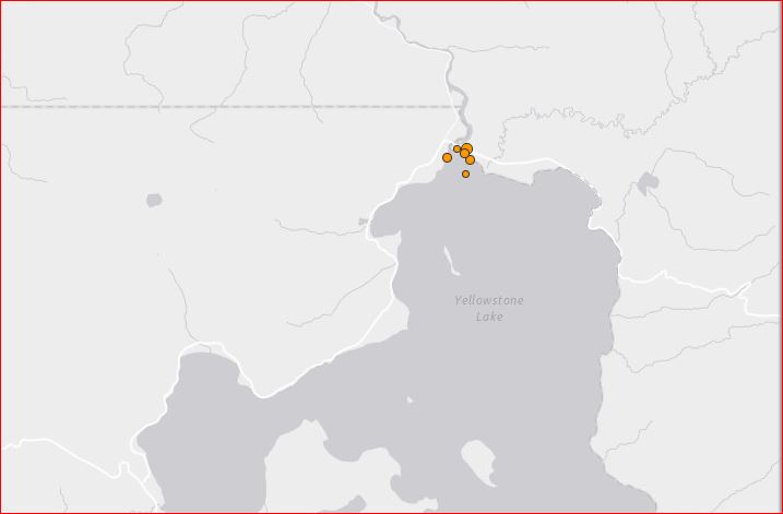
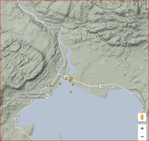
A swarm of 6 small earthquakes hit Yellowstone Lake, 23 miles from Old Faithful Geyser, Wyoming on June 23, 2016.
Is this increased geological activity another sign that the ground under the lake rising significantly?
After the magma chamber under the Yellowstone area collapsed 640,000 years ago in its previous great eruption, it formed a large caldera that was later partially filled by subsequent lava. Part of this caldera is the 136 sq mi (350 km2) basin of Yellowstone Lake.

On June 23, 2016, the northern part of the lake, was struck by a series of six small earthquakes between 11:12am and 2:43pm UTC:
M2.4 – 37km ENE of Old Faithful Geyser, Wyoming
M1.0 – 37km ENE of Old Faithful Geyser, Wyoming
M1.9 – 37km ENE of Old Faithful Geyser, Wyoming
M0.3 – 37km ENE of Old Faithful Geyser, Wyoming
M1.9 – 36km ENE of Old Faithful Geyser, Wyoming
M0.6 – 37km ENE of Old Faithful Geyser, Wyoming
As shown in the descriptions of the quake and the two maps above and below, all earthquakes hit the same area: 37km ENE of Old Faithful Geyser, Wyoming.

It seems that:
- As of 2004, the ground under the lake has started to rise significantly, indicating increased geological activity.
- There is a ‘bulge’ about 2,000 ft (610 m) long and 100 ft (30 m) high under a section of Yellowstone Lake, where there are a variety of faults, hot springs and small craters.
- In the 1990s, geological research determined that the two volcanic vents, now known as “resurgent domes”, are rising again. From year to year, they either rise or fall, with an average net uplift of about one inch per year. The resurgence of the Sour Creek dome, just north of Fishing Bridge is causing Yellowstone Lake to “tilt” southward.
There must have been something going on there, but I cannot tell what exactly.
Now listen to the mysterious whispers of the Yellowstone Lake.


