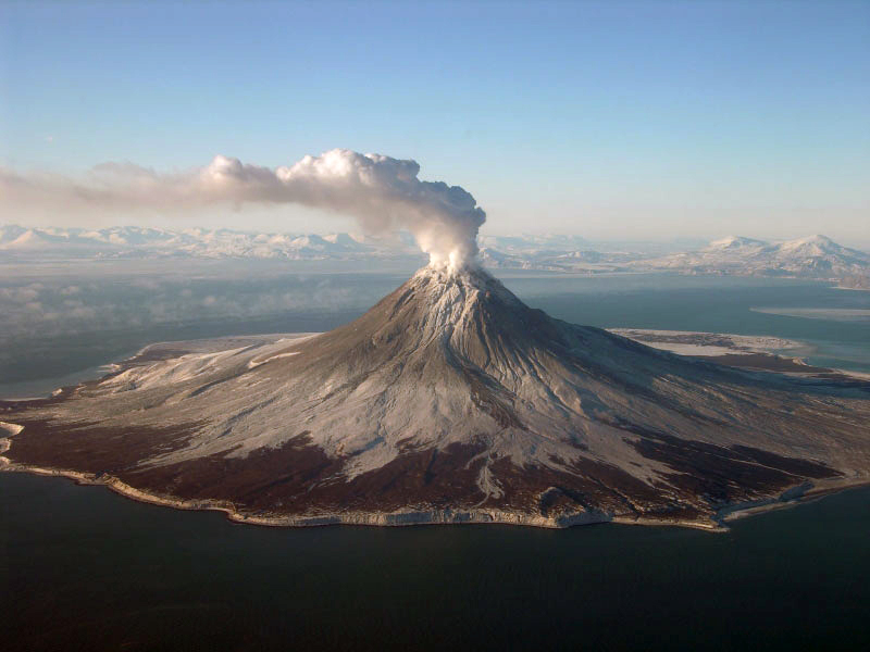
We live on a geologically active planet. This, of course, isn’t a shock to anyone but sometimes seeing just now active it is can be fascinating.
Now, let’s look back at over ten thousand years of volcanic eruptions:
ESRI put together a dynamic map that captures worldwide volcanic activity over the past 10,000 years in just over 90 seconds. The planet lights up like a Christmas tree with eruptions of all sizes!
Volcanism is concentrated in a lot of places you tend to associate with eruptions like Indonesia, New Guinea, Japan, West Indies, Kamchatka in Russia, Alaska, the Philippines, the Marianas, the Andes, Central America, New Zealand, Hawai’i and Iceland.
Most of those are places where an oceanic plate is being jammed back into the mantle as it collides with either another oceanic plate or a continental plate, so-called subduction zones.

A Few Spots Catch People By Surprise
We can see multiple eruptions over the past 10,000 years in places that are unexpected, like American Desert Southwest (Arizona, Utah, Nevada), northern Iran and Turkey, Sudan, the Arabian Peninsula, North Korea and Taiwan.
Although in many of these places it has been thousands of years since the last eruption, that is a blink of an eye for the life of a volcano, so we should expect that new eruptions might happen there in the future.
What this map really captures is that, other than Jupiter’s moon Io, the Earth is hands down the most volcanically-active body in the solar system. Our planet is dynamic. And volcanic activity is not increasing. What is increasing is our awareness of volcanic eruptions, so even small burps from a volcano get recorded. [Discover Magazine]


