Severe thunderstorms have developed over the central United States and will threaten the Mississippi Valley Thursday, March 31, 2016.
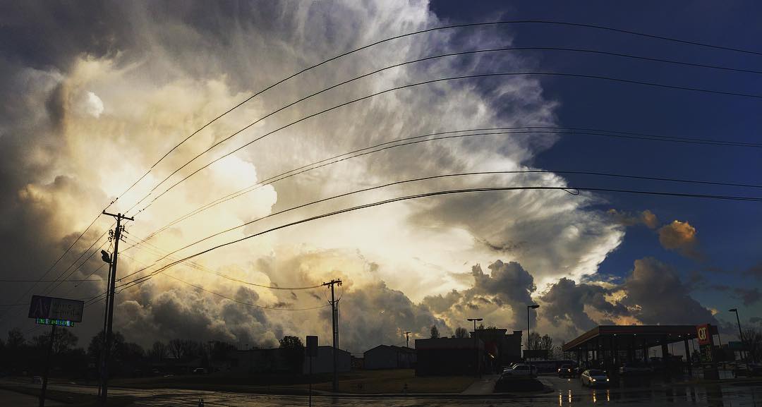
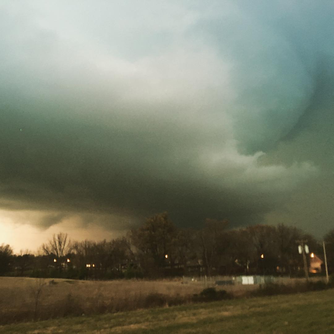
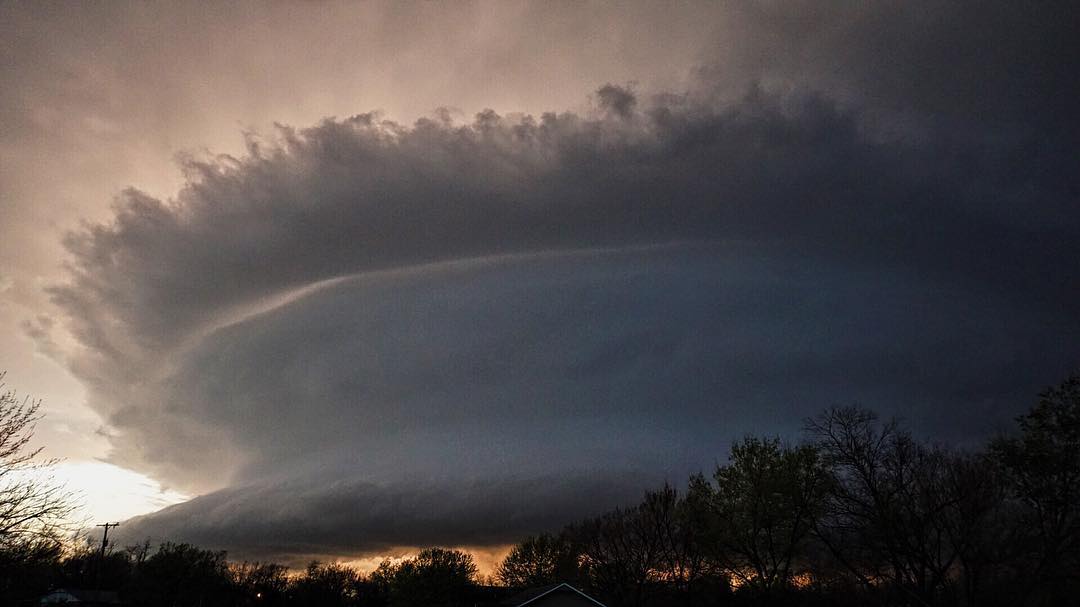
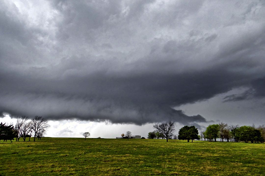
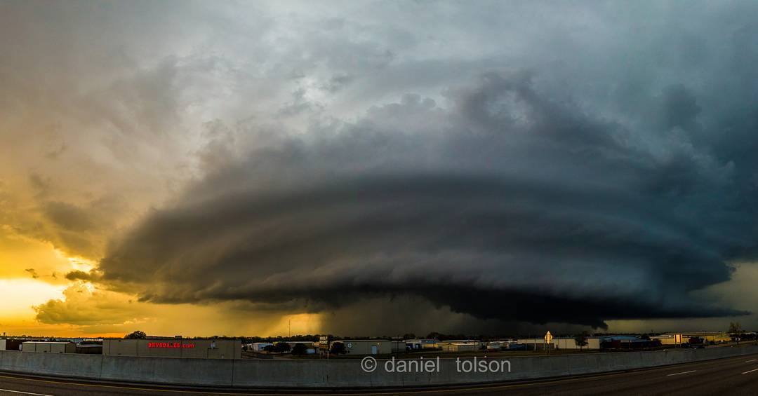
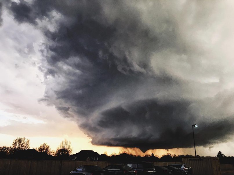
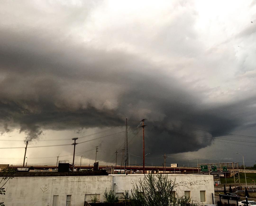
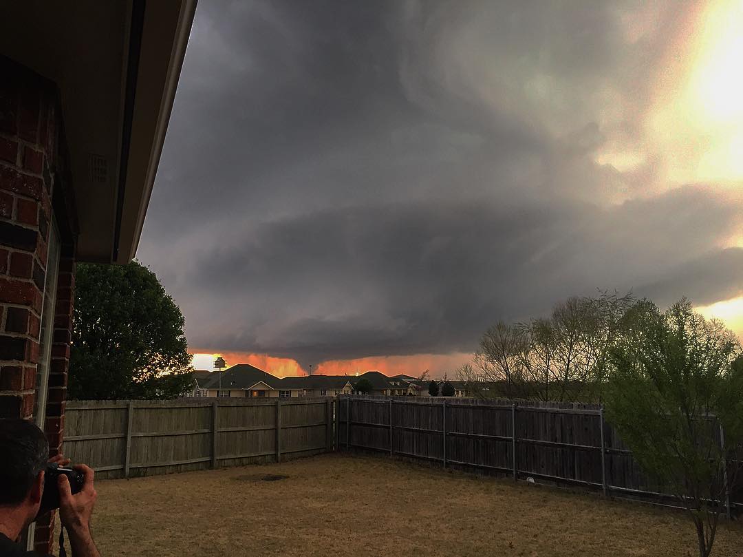
And they created these awesome supercell monsters across Oklahoma on March 30, 2016. Enjoy these epic pictures!
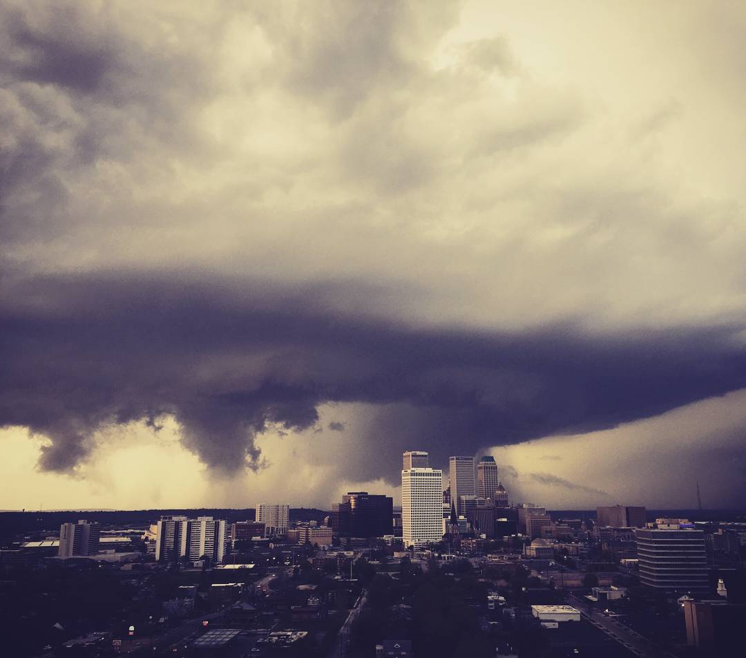
People across the region should prepare for the possibility of severe storms spawning damaging winds, large hail and potentially a few tornadoes.
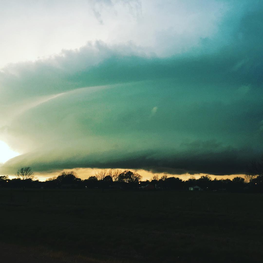
Cities at risk for severe thunderstorms include Jackson and Greenwood, Mississippi, and Baton Rouge, Louisiana.
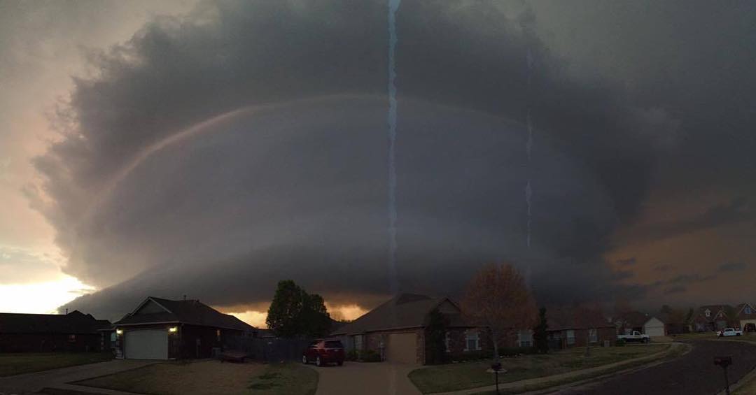
Thunderstorms are forecast to continue Thursday morning with the worst weather in Missouri, Arkansas, Mississippi and Louisiana.
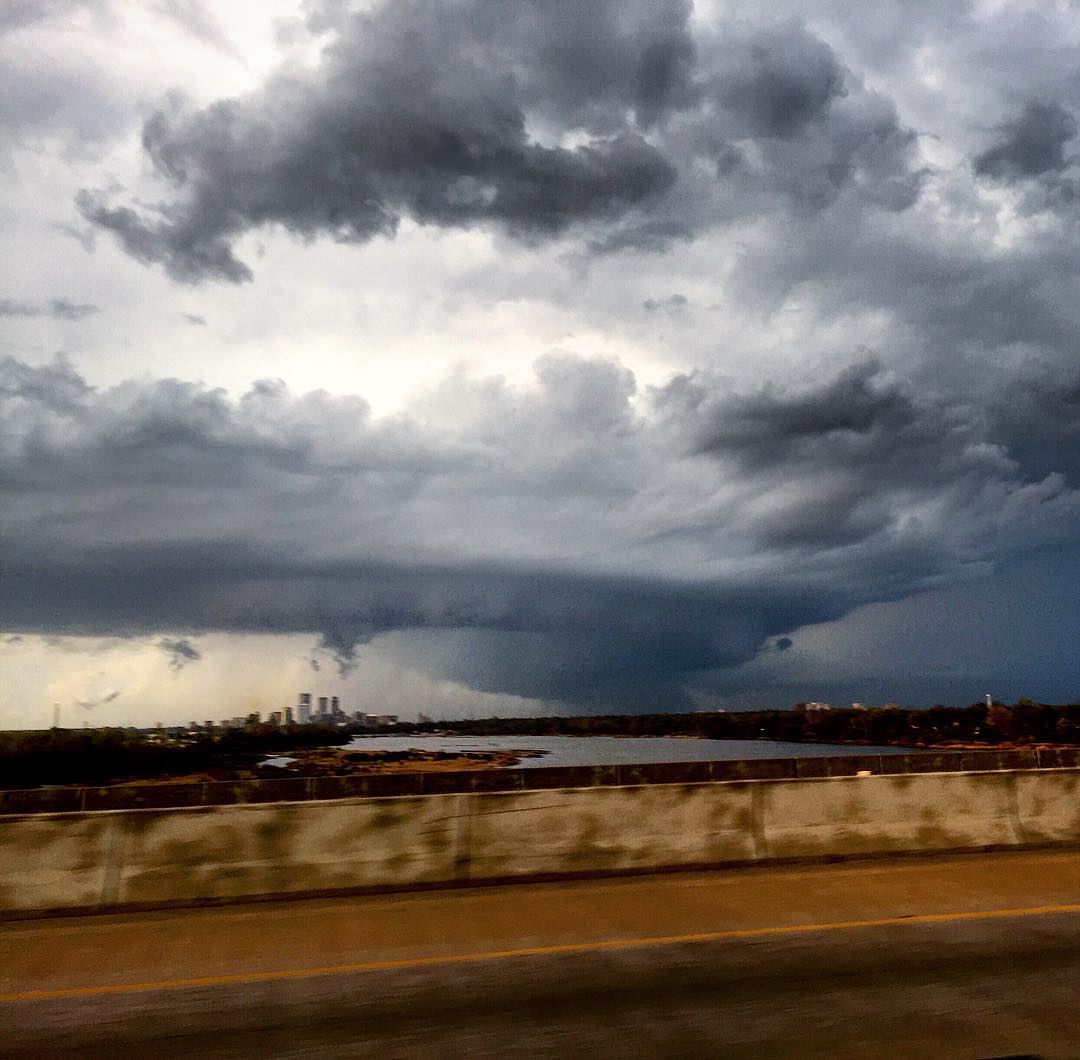
Anyone outside should find shelter should a storm approach. If you see a flash of lightning or hear a rumble of thunder, you are close enough to get struck.
During Wednesday night, these storms will push eastward and slowly weaken due to the lack of sunlight, but these storms could still produce locally damaging winds and heavy rainfall through the overnight.
On Thursday, the threat will shift into the Southeastern states and part of the Ohio Valley.
The primary threat will be damaging winds once these storms move eastward. Flash flooding will be of particular concern across the lower Mississippi Valley where grounds remain saturated and many rivers are still above flood stage.
Pleasant weather is in store this weekend with high pressure in control of the weather.
Areas from the central Plains and Missouri Valley and points southward will escape the brunt of the arctic air set to plunge across the Midwest and Northeast.


