We normally report new islands forming after natural disasters like earthquakes, volcanic eruptions or Cat.5 storms. Well, Hurricane Walaka, which churned over the Pacific Ocean in early October, quietly made the remote East Island of Hawaii disappear from satellite imagery.
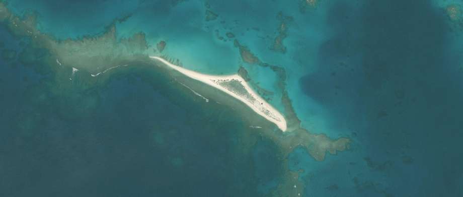
Walaka was one of the strongest hurricanes to ever hit the region, but the Category 5 storm got little international attention since it didn’t strike any major population centers.
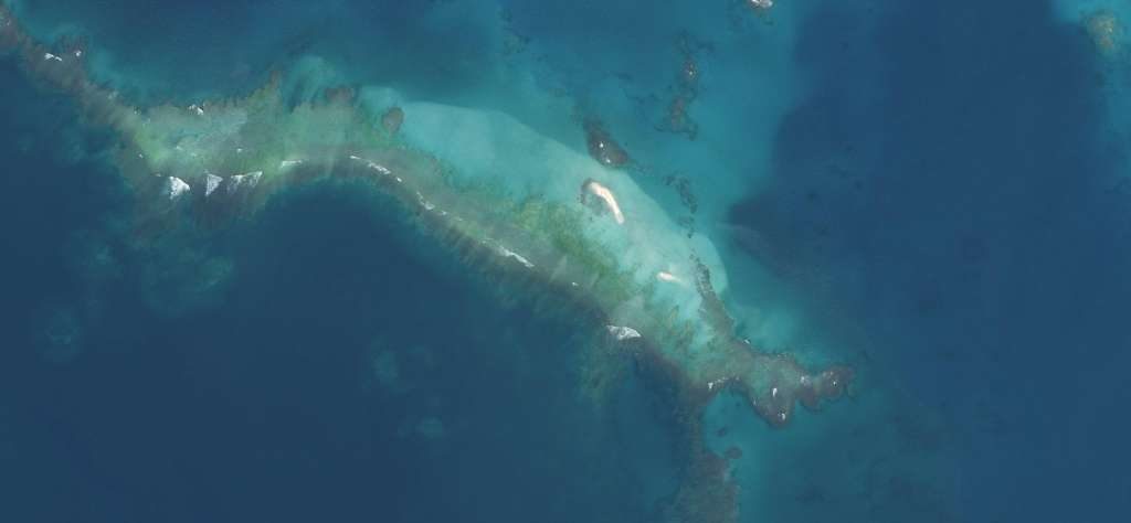
Instead, the storm’s significant impact was on the environment. Walaka quietly made the remote East Island of Hawaii disappear from satellite imagery.
Before and after photos show the island in May, then after the hurricane in October.
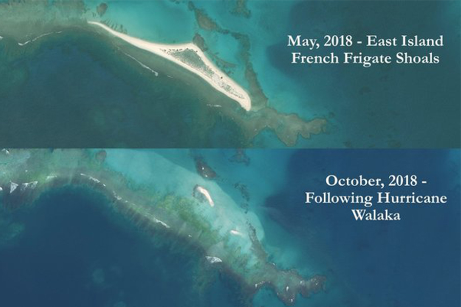
Only tiny stretches of sand can still be seen; the rest is underwater.
That’s a holy s***— moment… Like ‘Oh my God, it’s gone! It’s one more chink in the wall of the network of ecosystem diversity on this planet that is being dismantled.
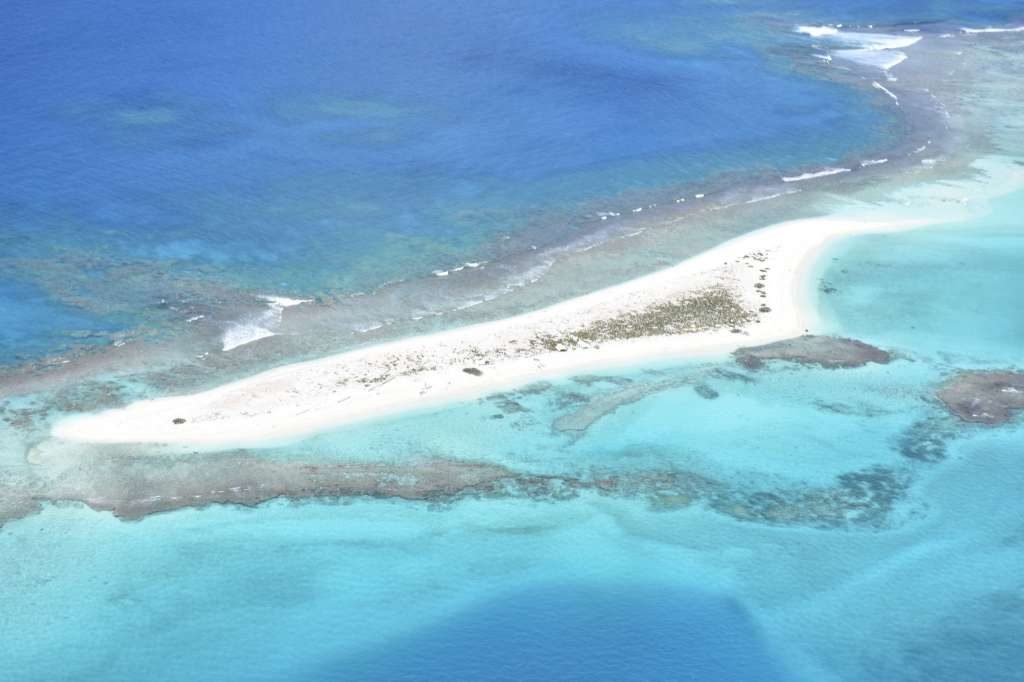
While the 11-acre island was uninhabited by people, it held immense ecological importance. Nearly half of Hawaiian green sea turtles nested on East Island. It was the most important single islet for sea turtle nesting.
One in seven Hawaiian monk seals, which are an endangered species, were born on East Island.
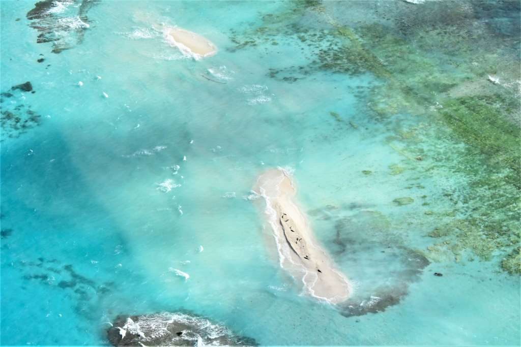
It’s too soon to determine what impact the island’s disappearance will have on the wildlife that called it home. But that’s amazing again!
Follow us: Facebook and Twitter
SFGate – Hawaiian island practically disappears off map after Hurricane Walaka


