This menacing shelf cloud darkened the sky of Rio Grande do Sul, Brazil on April 6, 2016.
The cloud itself is completely harmless, but it’s a sign that you should run for your life before the storm hits!
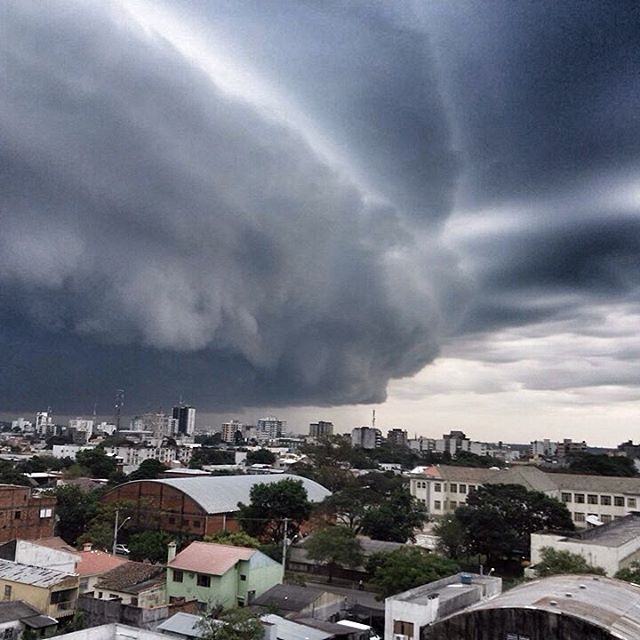
Shelf clouds are a stunning feature of many spring and summertime thunderstorms that often pack more bark than bite.
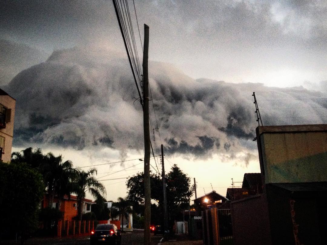
Other than for their incredible beauty, shelf clouds are usually newsworthy because they tend to freak people out.
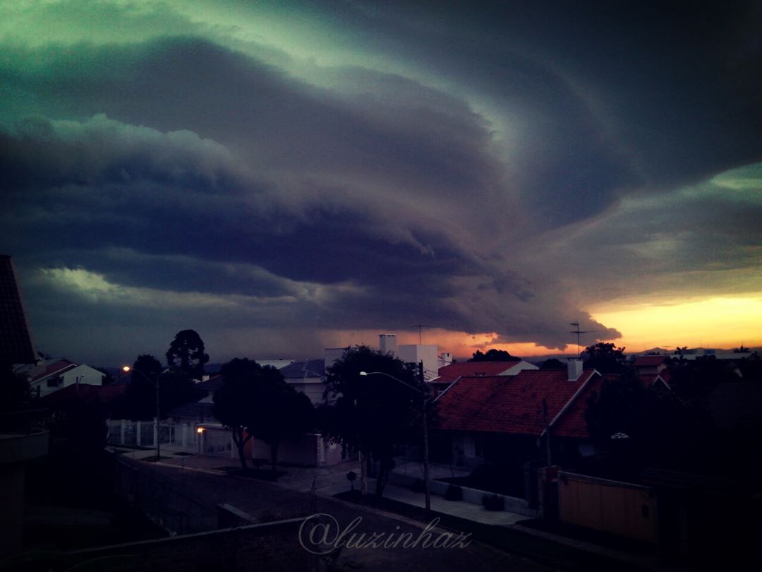
A shelf cloud is a low-hanging, well-defined, wedge-shaped formation that occurs along the leading edge of a gust front in a thunderstorm.
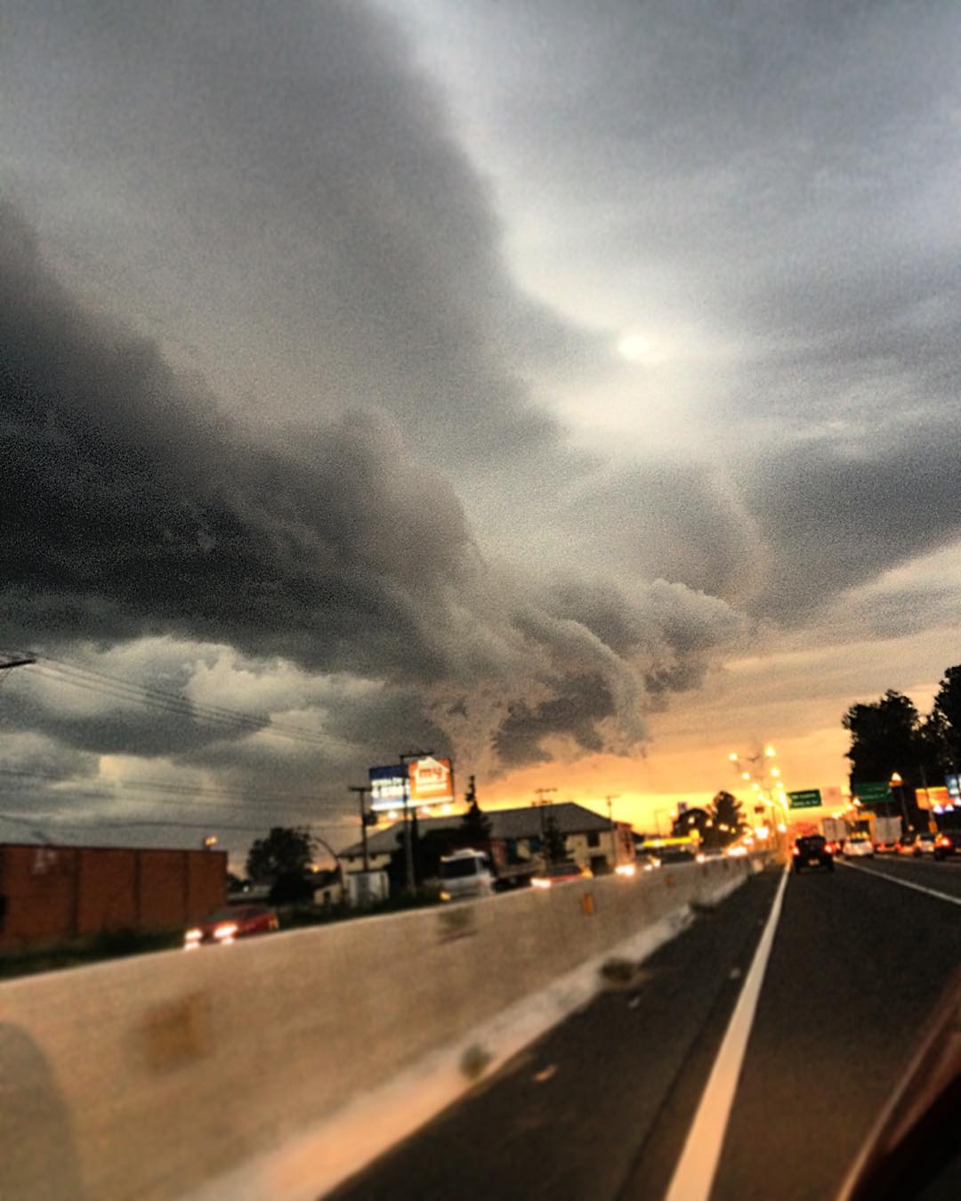
Shelf clouds most often form just ahead of intense lines of thunderstorms.
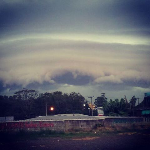
Even though they look ominous and people often mistake them for tornadoes, shelf clouds themselves are harmless.
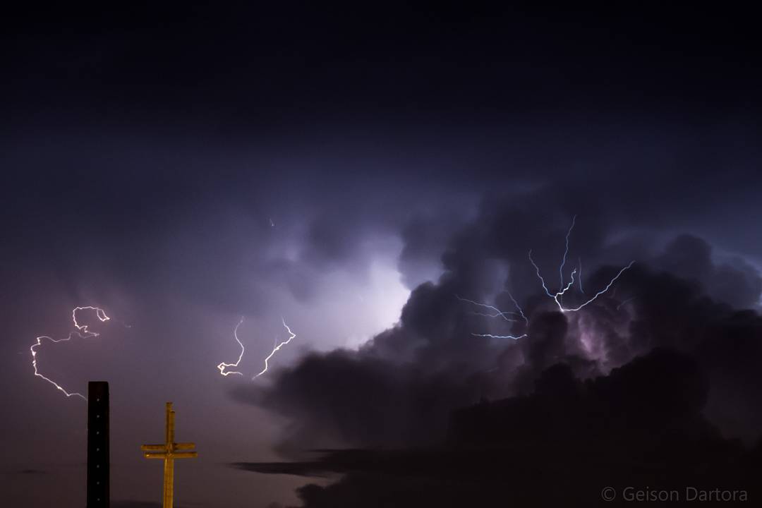
What they indicate, however, is potentially more dangerous.
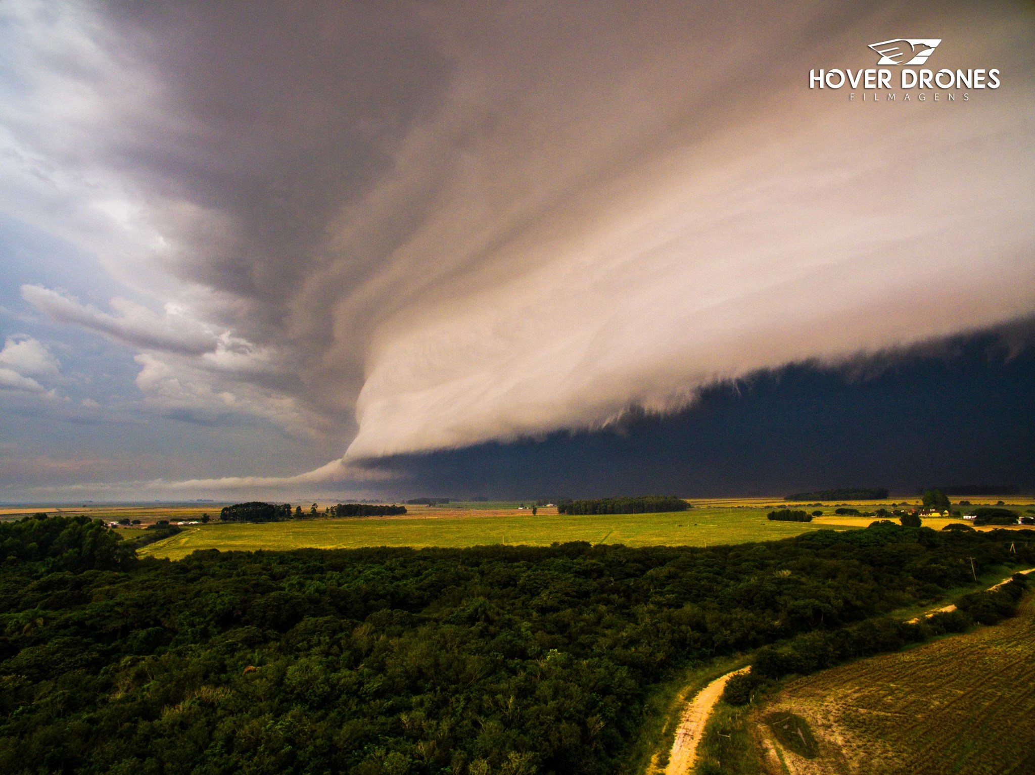
These clouds most often form along intense lines of thunderstorms.
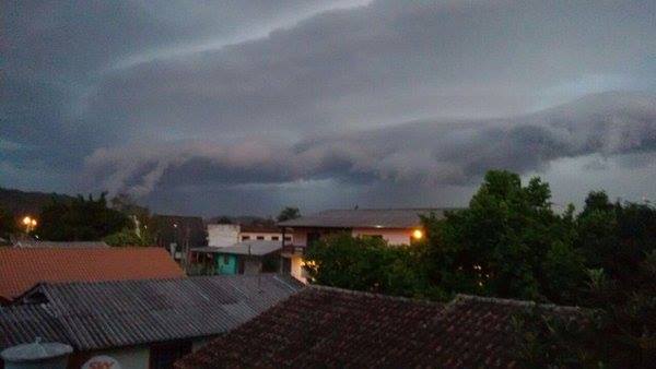
These storms, called squall lines or bow echoes, tend to produce damaging winds when they hit.
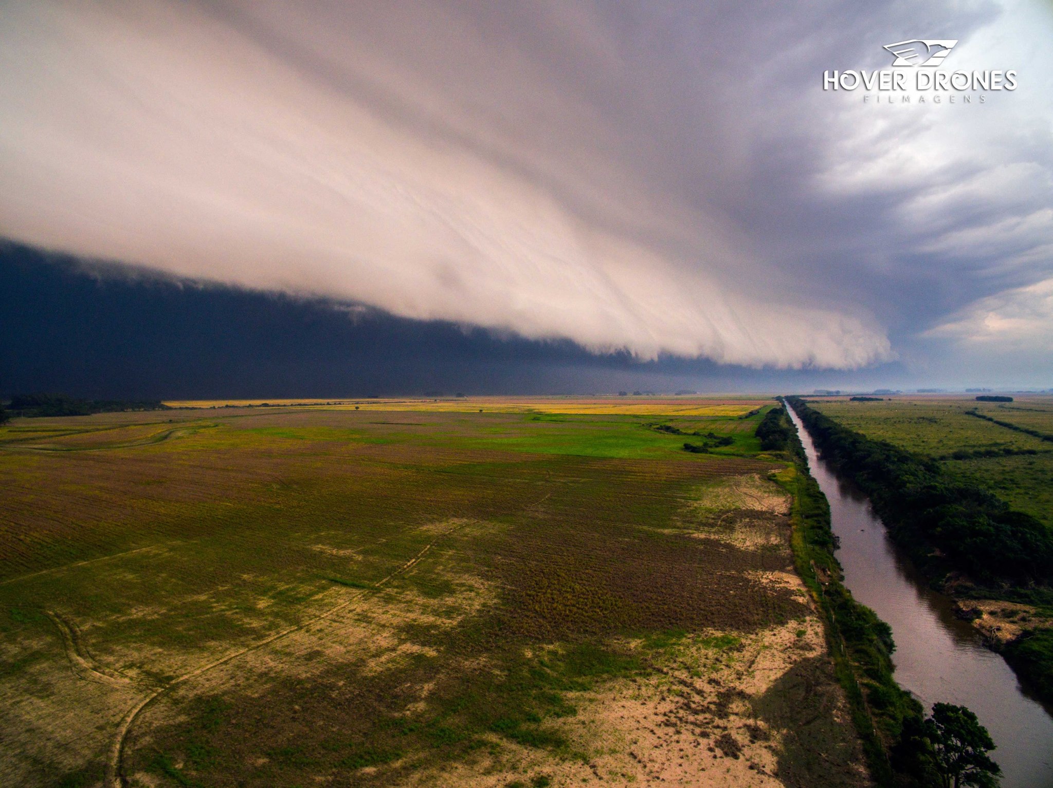
The most well-defined and photogenic shelf clouds occur with the most intense type of severe thunderstorm called a “derecho.”
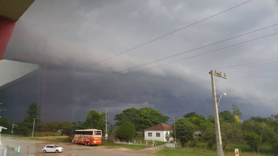
As spring sets in over the next few months, shelf clouds will become a common sight. The cloud itself is completely harmless, but it’s a sign that you should get inside before the storm hits.
On Good Friday, another monster shelf cloud swept through Florida.

