Giant waves on Earth but also in the sky.
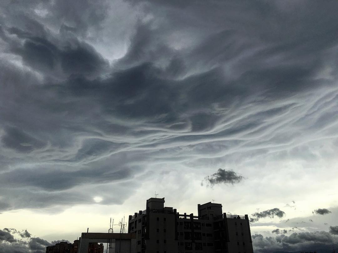
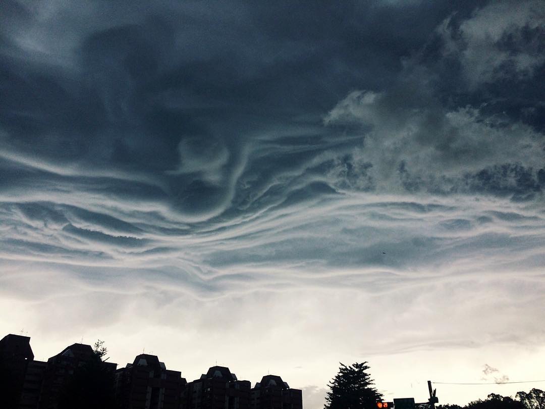
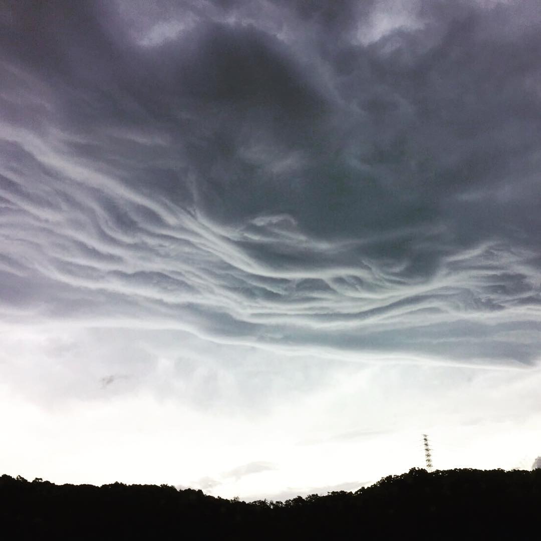
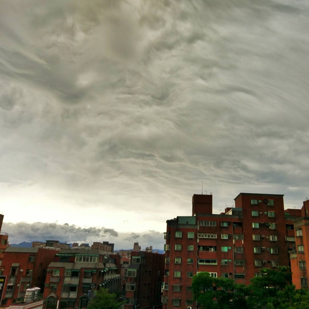
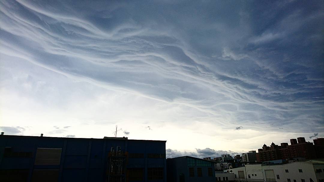
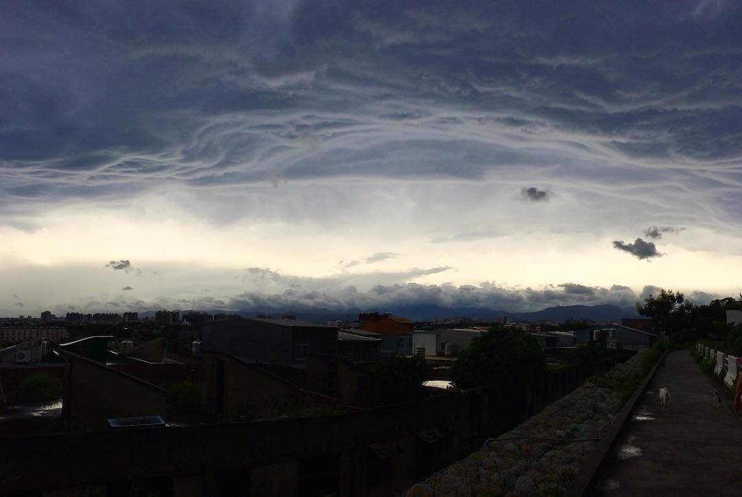
Look at these strange wave-like clouds forming in the skies over Hong Kong China just before super typhoon Meranti hit.
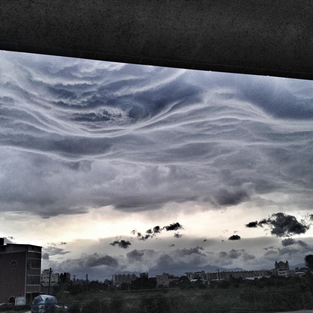
Freaky asperatus undulatus formed off Hong Kong on September 13, 2016, to give this Chinese metropole a taste and feeling of the incoming apocalypse.

Indeed, typhoon Meranti is heading for landfall in China after wreaking havoc Taiwan with wind gusts over 100 mph and 20+ inches of rain.
As of late Wednesday morning (EDT), or Wednesday evening China time, Meranti was centered about 80 miles southeast of Xiamen, China. Maximum sustained winds were estimated to be 145 mph, according to the Joint Typhoon Warning Center (JTWC). But recent satellite imagery suggests the system is weakening.
The center of Meranti will move on a path that will likely take it inland near Xiamen, China, early Thursday morning, local time. This is Wednesday afternoon U.S. time. Meranti is expected to be the equivalent of a Category 3 or 4 near the time of landfall, according to the JTWC.
Possible Impacts: Damaging winds and storm surge flooding will be threats along the coast, especially in and either side of Xiamen, China. Storm surge exceeding 10 feet is possible in coastal China, according to storm surge specialist Hal Needham.
Another major concern is heavy rainfall which will likely result in flooding. Some locations will pick up more than a foot of rain.
Late Tuesday afternoon, Meranti became the strongest tropical cyclone anywhere on the globe so far in 2016.
Moreover, Meranti, with its 190-mph sustained winds, became the second-strongest tropical cyclone in the northwest Pacific since 1970 after Typhoon Tip.


