A rare 800km long Morning Glory Cloud has rolled across outback Queensland stunning local residents on July 23, 2016.
Now look at these pictures showing this gigantic roll cloud that almost never forms over inland areas.
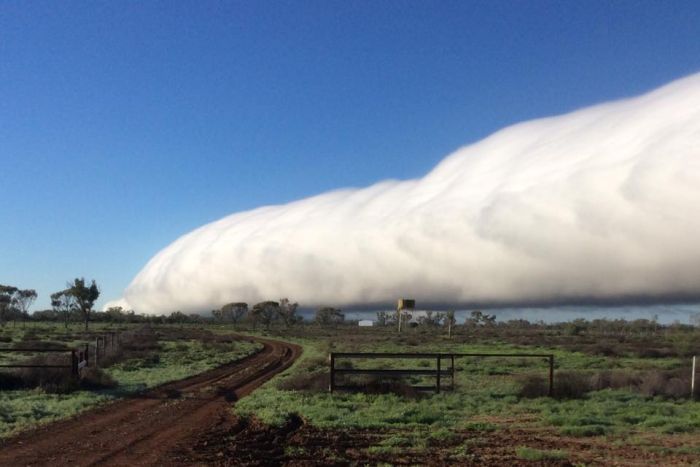
The morning glory cloud is a rare meteorological phenomenon often seen in the Gulf of Carpentaria in September but almost never sighted over inland areas.
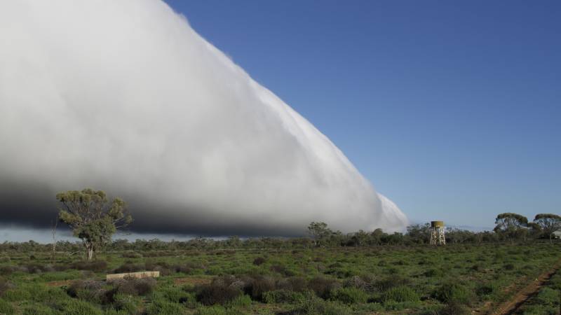
This roll cloud has been observed in Ilfracombe, Longreach, Blackall and Tambo. However satellite imagery suggests that it extends even further to around Dalby. This is an incredible 800km in length and about 2-10km in width.
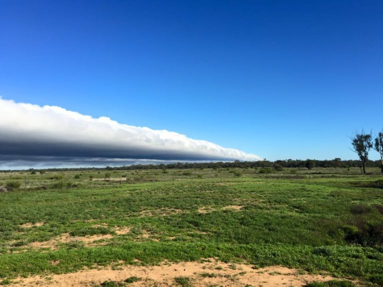
The huge cloud, coming out of nowhere, formed into a roll and suddenly into something looking like a huge wave over Blackall.
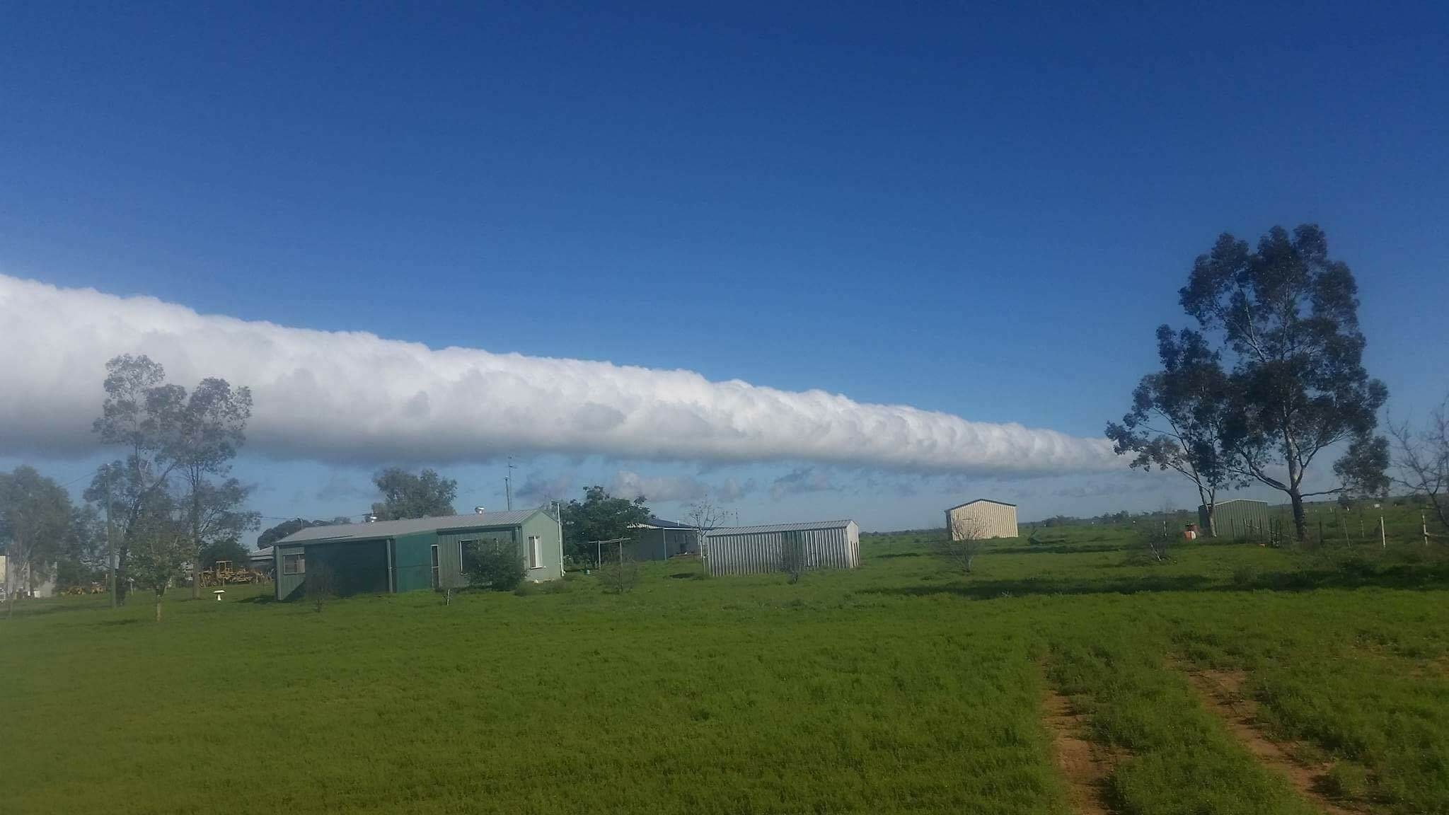
Another witness from Ilfracombe, nearly 200 kilometres away, also saw the gigantic cloud in the distance.
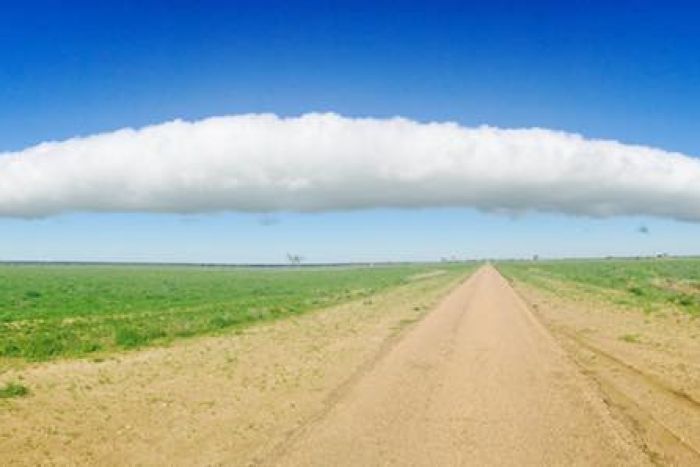
Meteorologists explain that roll clouds are generally only seen in the Gulf of Carpentaria, where their formation can be predicted and observed on a more or less regular basis due to the configuration of land and sea in the area.
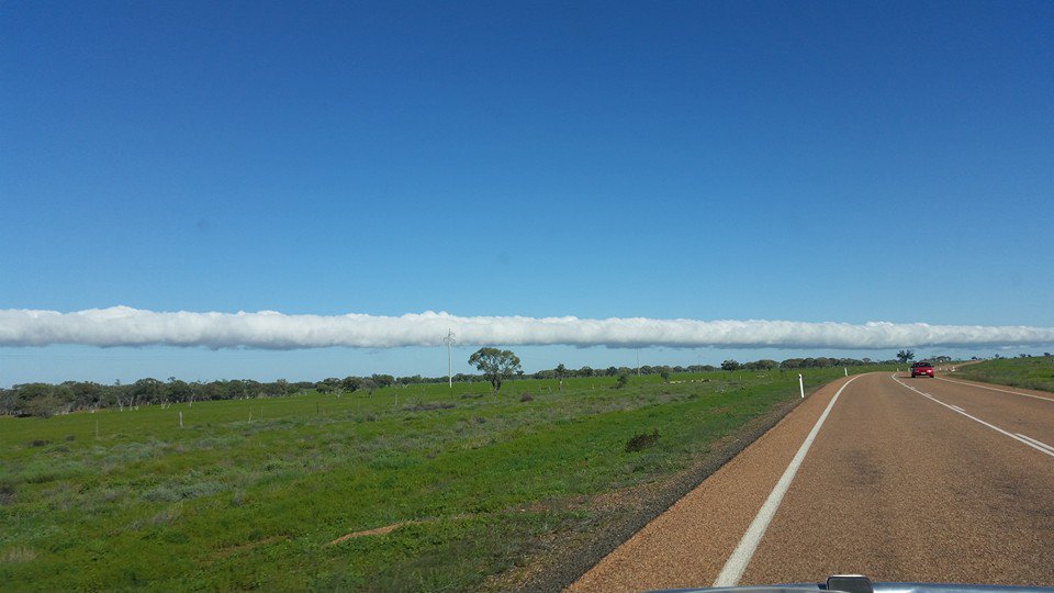
So why did it form in dry central Queensland?
Inland they’d be associated with a change of air mass, a wave coming through as it were, and in this case a gravity wave.
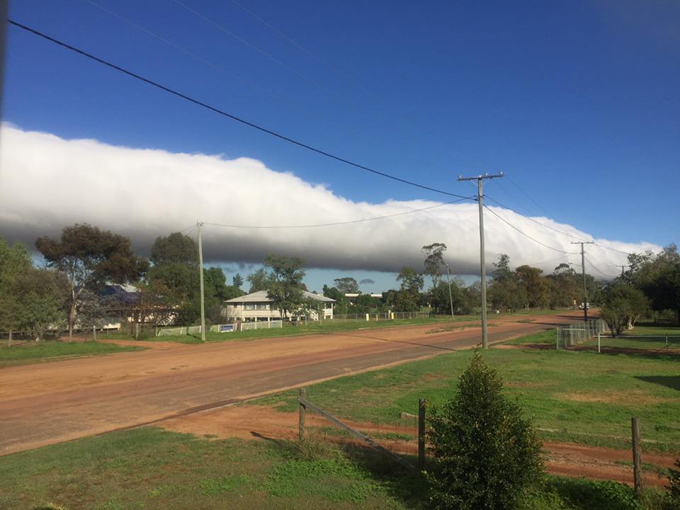
Something that is a little bit heavier than the surrounding air pushing into south-west Queensland from the south-east.
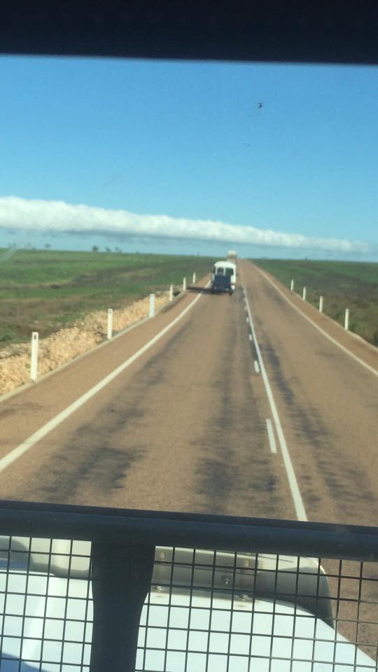
In other words, the unusual cloud formation was associated with a cold front moving through, and meeting the warm air ahead of it.
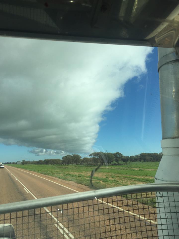
If there’s enough moisture in the turbulence that’s caused by this wave coming through then it will generate a line of cloud.
In this particular instance it was a beautiful and well defined morning glory. But I wouldn’t expect to see another one any time soon.


