Before the skies opened up over Virginia on Wednesday evening, thunder and ominous black clouds gave a solid warning of the looming storm, with unbelievable images capturing the impending weather front.
These photographs picture how the wall of dark clouds and thunderheads crawled across the sky as the storm front roll over the atlantic beaches of Virginia.
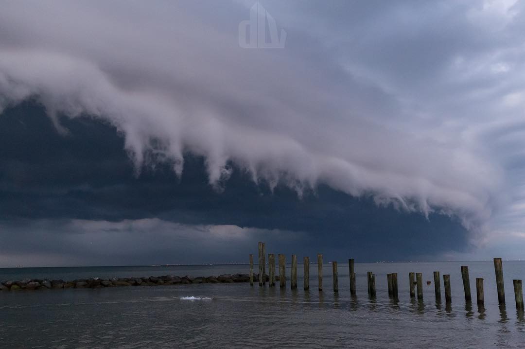
A shelf cloud, also known as an arcus or arc cloud, is typically seen at the leading edge of a thunderstorm or squall line of thunderstorms.
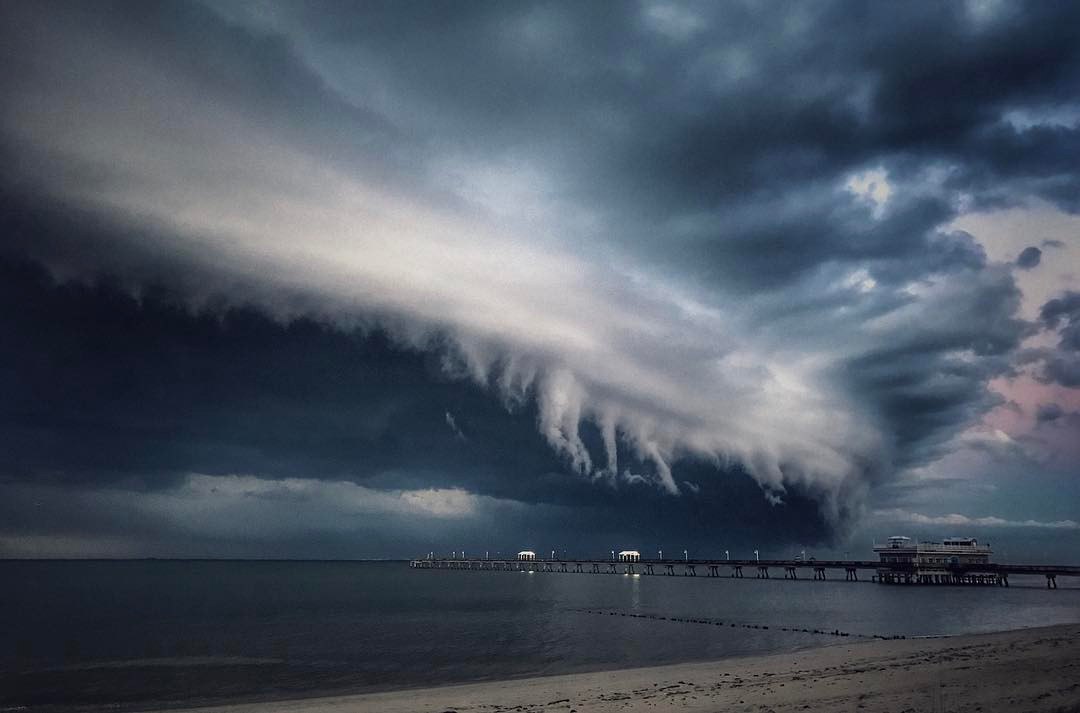
While menacing in appearance, shelf clouds are not tornadoes or wall clouds.
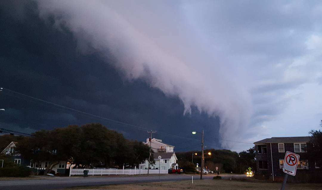
What you’re seeing in a shelf cloud is the boundary between a downdraft and updraft of a thunderstorm or line of thunderstorms.
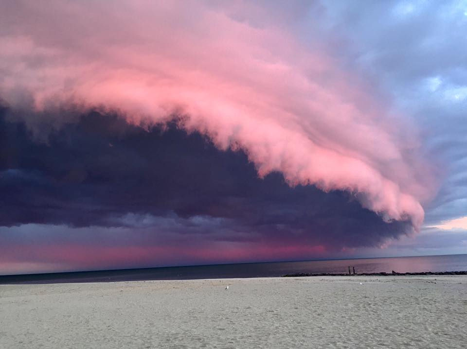
Rain-chilled air descends in a thunderstorm’s downdraft, then spreads laterally when reaching Earth’s surface.
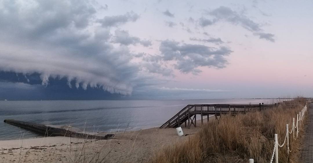
Warmer, more moist air is lifted at the leading edge, or gust front, of this rain-cooled air. When this warm, moist air condenses, you see the shelf cloud.
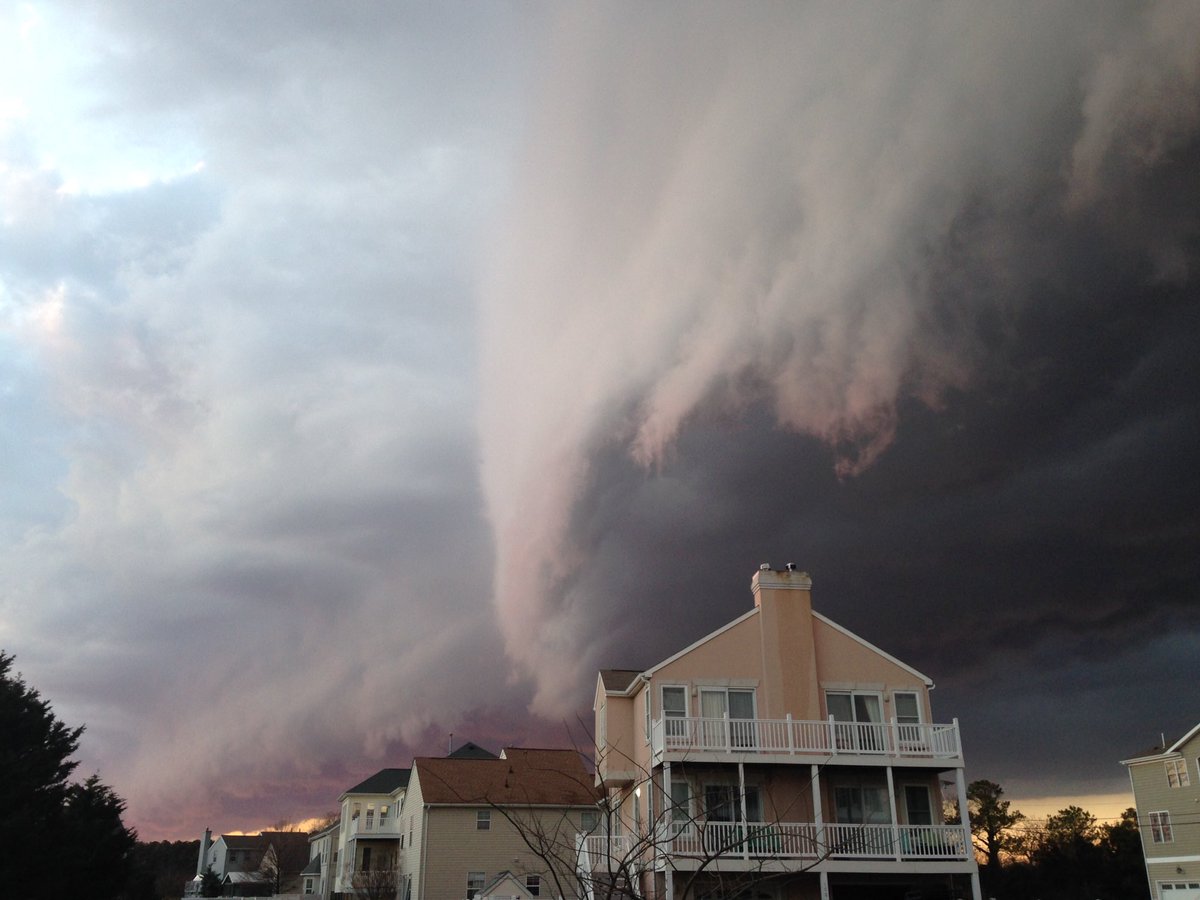
As the shelf cloud passes, you feel an abrupt shift in wind direction and increased wind speed, followed within minutes by heavy rain or hail.
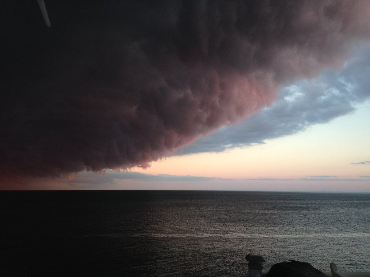
Wind gusts once the shelf cloud has passed may be quite strong, causing downed trees, tree limbs and power outages.








[…] Storm clouds off the Virginia coast, circa February 2017. Photo credit: Strange Sounds. […]
MAGNETS!