During severe weather outbreaks, conditions can change rapidly and the weather can turn volatile quickly. The following is a breakdown of ominous-looking clouds and whether there is imminent danger associated with them.
Cumulonimbus Clouds
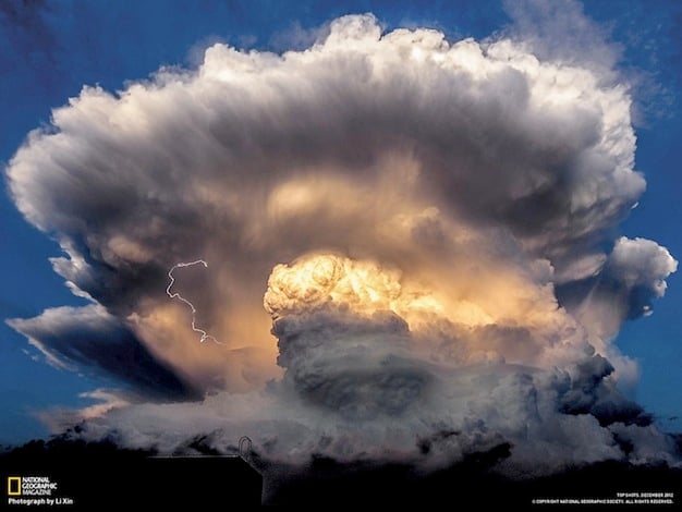
“Thunderclouds” are known scientifically as cumulonimbus clouds. They are tall, dense, and unstable, which makes them produce rain, lightning and thunder. A lifting mechanism, such as a cold front, can help trigger these clouds to form.
Scud Clouds
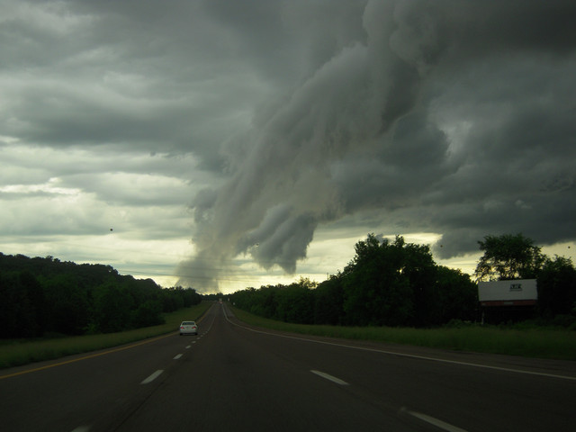
Scud clouds may appear to be ominous as they hang vertically below a cumulonimbus cloud. Sometimes, scud clouds are mistaken for funnel clouds. However, these clouds are benign and non-rotating. They often have a ragged appearance that sets them apart from the often smooth funnel clouds.
Shelf Clouds
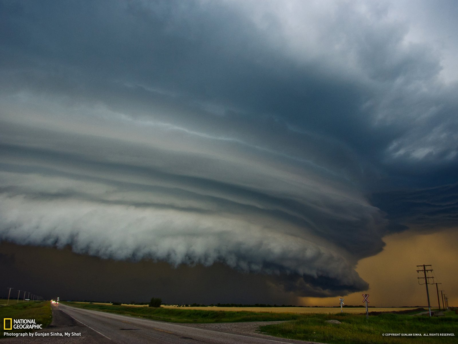
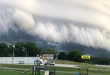
Shelf clouds often form at the leading edge of a gust front or outflow boundary from a thunderstorm or strong winds flowing down and outward from a storm. The outer part of a shelf cloud is often smoother with a notable rising motion exhibited by a tiered look (hence, the name shelf cloud). Underneath, a turbulent, unsettled appearance is often the case. A shelf cloud should be seen as a harbinger of strong winds, so take caution.
Wall Clouds
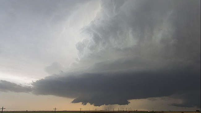
A wall cloud is a cloud that is lowered from a thunderstorm, forming when rapidly rising air causes lower pressure below the storm’s main updraft. They can range from a fraction of a mile up to nearly 5 miles in diameter. Wall clouds that rotate are a warning sign of very violent thunderstorms. They can be an indication that a tornado will touch down within minutes or even within an hour.
Funnel Clouds / Tornadoes
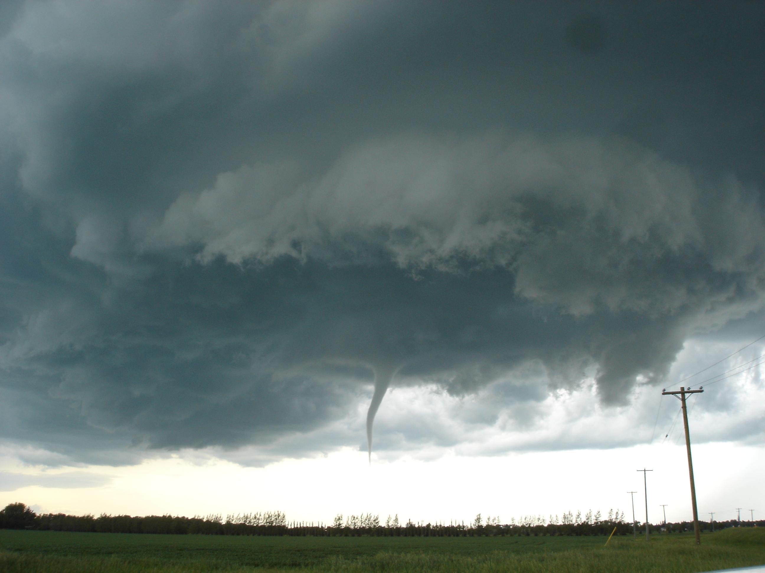
A funnel cloud is a rotating column of air (visible due to condensation) that does not reach the ground. If a funnel cloud reaches all the way to the ground, it is then classified as a tornado. When out on the road, funnel clouds should be treated as tornadoes, since they could touch down. Vehicles are NOT a safe place to be if there is a tornado nearby.
Thunderstorm Anvil Clouds
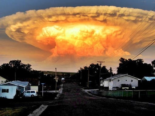
Anvil clouds are the flat top of a thunderstorm, or cumulonimbus cloud. They can spread up to “hundreds of miles downwind from the thunderstorm itself,” according to the National Weather Service. Lightning can strike from anvil clouds, even far away from a thunderstorm. Lightning described as striking “from out of the blue” is usually from an anvil cloud that has drifted from a thunderstorm.
Mammatus Clouds
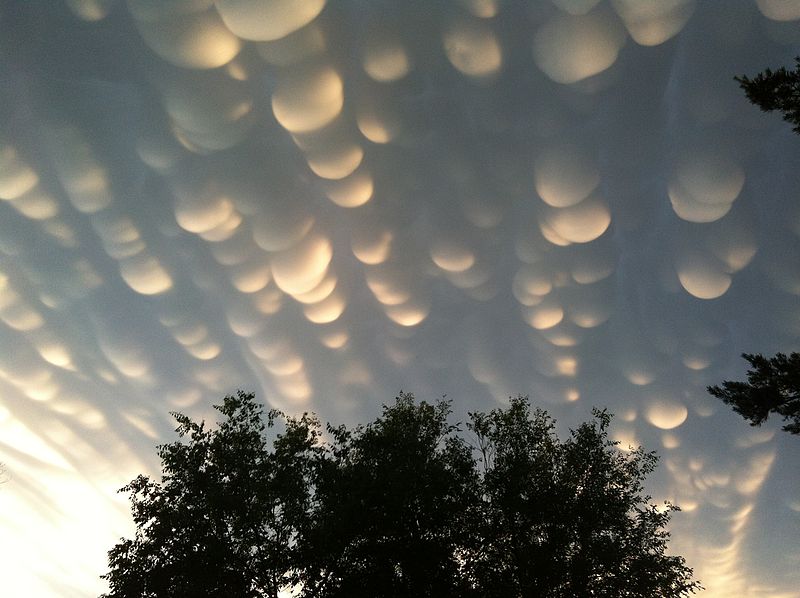
Striking mammatus clouds can sometimes be seen below thunderstorm anvil clouds. The rounded and smooth look of mammutus clouds captivates onlookers. They are often found underneath anvil clouds of severe thunderstorms; however, they can form underneath clouds associated with non-severe thunderstorms as well.
Asperatus Clouds
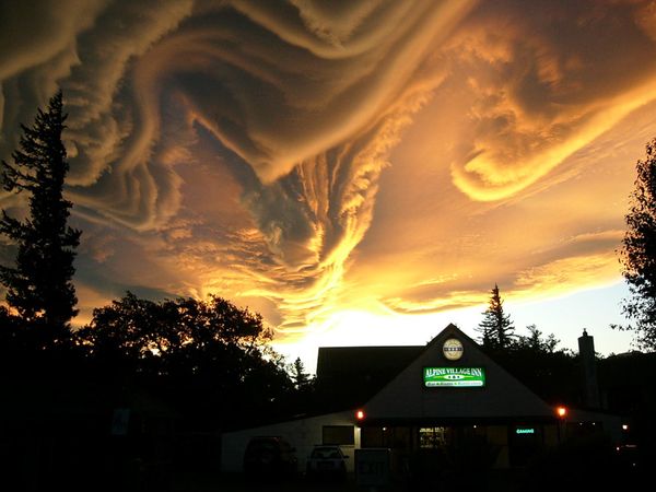
An abundance of heat in the atmosphere is needed to produce enough energy for the dramatic, rolling formations of asperatus clouds. Another factor is the interaction of very moist air (often on the fringes of thunderstorm complexes) with very dry air.
The darkness of the clouds is likely due to the large amount of water vapor. Asperatus clouds are not necessarily accompanied by stormy weather. In fact, they have often been observed without the development of thunderstorms.



[…] Let’s hope this giant lenticular cloud is not foretelling the next extreme natural disaster. […]
[…] thought you would enjoy this mammatus compilation… Didi […]
[…] Learn how to recognize dangerous storm clouds here! And enjoy the pictures by Enrique Aquirre below: […]
[…] as thunderstorms go, supercells are the least common, but they’re responsible for most of the violent tornadoes in the U.S. In addition to extreme winds, they also dump torrential rain and hailstones that are […]